Forest Park, Portland, Oregon
| Forest Park | |
|---|---|
| Neighborhood | |
 Forest Park | |
|
Coordinates: 45°32′05″N 122°44′28″W / 45.53476°N 122.74119°WCoordinates: 45°32′05″N 122°44′28″W / 45.53476°N 122.74119°W PDF map | |
| Country | United States |
| State | Oregon |
| City | Portland |
| Government | |
| • Association | Forest Park Neighborhood Association |
| • Coalition | Neighbors West/Northwest |
| Area | |
| • Total | 10.93 sq mi (28.31 km2) |
| Population (2000)[1] | |
| • Total | 2,360 |
| • Density | 220/sq mi (83/km2) |
| Housing[1] | |
| • No. of households | 859 |
| • Occupancy rate | 96% occupied |
| • Owner-occupied | 779 households (91%) |
| • Renting | 80 households (9%) |
| • Avg. household size | 2.75 persons |
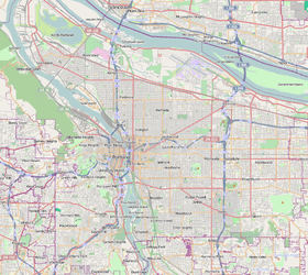
Forest Park, a neighborhood on the northwestern edge of Portland, Oregon, combines rolling green pastures, views east and west, and proximity to the attractions of Northwest District. The Forest Park neighborhood is named because of its proximity to Forest Park, the southern portion of which lies within the neighborhood boundaries and the rest of which is adjacent. Most of the neighborhood lies within unincorporated Multnomah County, though it does include some areas within Portland city limits.
References
External links
This article is issued from
Wikipedia.
The text is licensed under Creative Commons - Attribution - Sharealike.
Additional terms may apply for the media files.