European route E40
| |
|---|---|
 | |
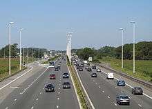
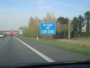 E40 interchange near Bruges, Belgium | |
| Route information | |
| Length | 8,641 km (5,369 mi) |
| Major junctions | |
| West end |
|
|
| |
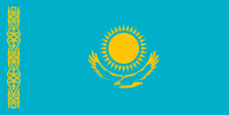
| East end | Ridder, Kazakhstan |
| Location | |
| Countries |
|
| Highway system | |
| International E-road network | |
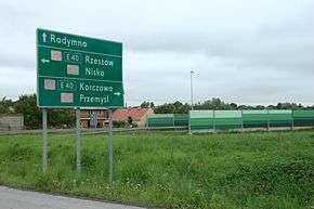
E 40 roadsign in Skołoszów, Poland
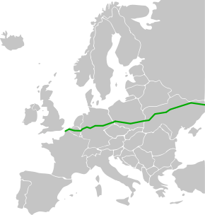
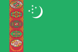
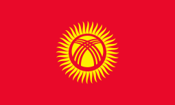
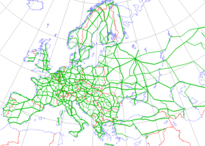
European route E 40 is the longest European route,[1] more than 8,000 kilometres (4,971 miles) long, connecting Calais in France via Belgium, Germany, Poland, Ukraine, Russia, Kazakhstan, Uzbekistan, Turkmenistan, and Kyrgyzstan, with Ridder in Kazakhstan near the border with Russia and China.
Route

.svg.png)


Note: in italic are cities in a war zone and/or controlled by separatists


- Karakalpakstan - Qo'ng'irot - Nukus
- Konye-Urgench - Daşoguz (
- Konye-Urgench - Daşoguz (
Note: The ![]()
- M39 Merki - Chaldovar
- M39 Chaldavar - Kara-Balta (
- M39 Chaldavar - Kara-Balta (
The road makes a big detour in Central Asia. The shortest road between Calais and Ridder is about 2,000 kilometres (1,243 miles) shorter, mostly using the E30 via Berlin-Moscow-Omsk.
Gallery
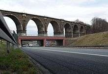 Crossing a railway at Chemnitz in eastern Germany
.jpg) at Zabrze in Upper Silesian Industrial Region in Poland
at Zabrze in Upper Silesian Industrial Region in Poland E 40 road on Ukrainian highway Kyiv-Zytomyr
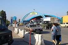 On Kazakh-Kyrgyz border at Korday
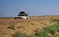
References
Citations
External links
| Wikimedia Commons has media related to E 40. |
This article is issued from
Wikipedia.
The text is licensed under Creative Commons - Attribution - Sharealike.
Additional terms may apply for the media files.