Ebola River
Coordinates: 3°19′24″N 20°57′38″E / 3.32333°N 20.96056°E
| Ebola River | |
| River | |
| Country | Democratic Republic of the Congo |
|---|---|
| Length | 250 km (155 mi) |
The Ebola River, also commonly known by its indigenous name Legbala,[1] is the headstream of the Mongala River, a tributary of the Congo River, in northern Democratic Republic of the Congo[2] It is roughly 250 km in length.
The name Ebola is a French corruption of Legbala, its name in the Ngbandi language which means "white water".[3] During the Belgian administration these names were interchangeable along with the French names Eau Blanche[1] and rarely L'Ébola.[3]
In 1976, Ebola virus (EBOV) was first identified in Yambuku, 60 miles from the Ebola River, but Professor Peter Piot decided to name it after the river so that the town would not be associated with the disease's stigma.[3] Thus, the river is eponymous to the terms Ebola virus, Ebolavirus, and Ebola virus disease (usually referred to as simply "Ebola").[4]
References
- 1 2 Tanghe, Basile; Vangele, A. (June 1939). "Région de la Haute Ebola: Notes d'histoire (1890-1900)". Aequatoria (in French). 2 (6): 61–65. JSTOR 25837382.
- ↑ vanden Bossche, J.-P.; Bernacsek, G. M. (1990). "Zaire". Source Book for the Inland Fishery Resources of Africa. Rome: Food and Agriculture Organization of the UN. 1 (18): 336. Retrieved 31 July 2014.
- 1 2 3 Wordsworth, Dot (25 October 2014). "How Ebola got its name". The Spectator. London, England. Retrieved 26 October 2014.
- ↑ "Ebola outbreak confirmed by DR Congo". BBC News.
| Congo left bank (south) | 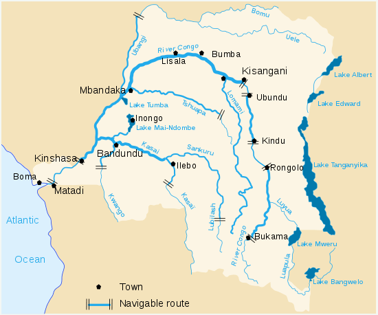 | |
|---|---|---|
| Kasai and tributaries | ||
| Congo right bank (north) | ||
| Lualaba and tributaries | ||
| Other | ||
Family Filoviridae | |||||||||||||||||||||||||||||||||
|---|---|---|---|---|---|---|---|---|---|---|---|---|---|---|---|---|---|---|---|---|---|---|---|---|---|---|---|---|---|---|---|---|---|
| |||||||||||||||||||||||||||||||||