Coeroenie Airstrip
| Coeroeni Airstrip | |||||||||||
|---|---|---|---|---|---|---|---|---|---|---|---|
| Summary | |||||||||||
| Airport type | Public | ||||||||||
| Operator | Luchtvaartdienst Suriname | ||||||||||
| Location | Coeroeni, Suriname | ||||||||||
| Elevation AMSL | 479 ft / 146 m | ||||||||||
| Coordinates | 3°22′15″N 57°20′45″W / 3.37083°N 57.34583°WCoordinates: 3°22′15″N 57°20′45″W / 3.37083°N 57.34583°W | ||||||||||
| Map | |||||||||||
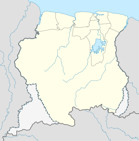 SMCI Location in Suriname | |||||||||||
| Runways | |||||||||||
| |||||||||||
Coeroeni Airstrip (ICAO: SMCI) is an airstrip located near Coeroeni (variant spellings: Coeroenie, Curunie, or Curuni) in Suriname. It was constructed as part of Operation Grasshopper.
Charters and destinations
Charter Airlines serving this airport are:
| Airlines | Destinations |
|---|---|
| Blue Wing Airlines | Paramaribo, Zorg en Hoop Airport[3] |
| Caricom Airways | Paramaribo, Zorg en Hoop Airport[4] |
| Gum Air | Paramaribo, Zorg en Hoop Airport[5] |
| Hi-Jet Helicopter Services | Paramaribo, Zorg en Hoop Airport |
| Suriname Air Force/ Surinaamse Luchtmacht | Paramaribo, Zorg en Hoop Airport |
Accidents and incidents
- On 2 September 1960 a Cessna Bobcat UC-78C Bobcat, registration PZ-TAE from the Surinaamse Luchtvaart Maatschappij crashed at Curuni. There were no fatalities or injuries, the pilot was M. Wybenga.[6][7]
See also
References
- ↑ Airport information for Coeroenie Airstrip at Great Circle Mapper.
- ↑ Google Maps - Coeroenie
- ↑ Blue Wing schedule Archived 2013-05-22 at the Wayback Machine.
- ↑ Caricom destinations Archived March 15, 2013, at the Wayback Machine.
- ↑ Gum Air destinations
- ↑ Aircraft disposition database
- ↑ ASN 2 Sep 1960
External links
- Accident history for Coeroenie Airstrip at Aviation Safety Network
- OpenStreetMaps – Coeroenie
- OurAirports – Coeroenie
This article is issued from
Wikipedia.
The text is licensed under Creative Commons - Attribution - Sharealike.
Additional terms may apply for the media files.