Chiaramonti
| Chiaramonti Tzaramonte | |
|---|---|
| Comune | |
| Comune di Chiaramonti | |
.jpg) | |
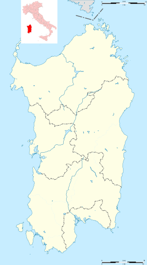 Chiaramonti Location of Chiaramonti in Sardinia | |
| Coordinates: 40°45′N 8°49′E / 40.750°N 8.817°ECoordinates: 40°45′N 8°49′E / 40.750°N 8.817°E | |
| Country | Italy |
| Region | Sardinia |
| Province | Sassari (SS) |
| Government | |
| • Mayor | Giovanni Maria Retanda |
| Area | |
| • Total | 98.7 km2 (38.1 sq mi) |
| Elevation | 400 m (1,300 ft) |
| Population (28 February 2017).[1] | |
| • Total | 1,639 |
| • Density | 17/km2 (43/sq mi) |
| Demonym(s) | Chiaramontesi |
| Time zone | UTC+1 (CET) |
| • Summer (DST) | UTC+2 (CEST) |
| Postal code | 07030 |
| Dialing code | 079 |
| Website | Official website |
Chiaramonti (Gallurese: Chjaramònti, Sardinian: Tzaramònte) is a comune (municipality) in the Province of Sassari in the Italian region Sardinia, located about 170 kilometres (110 mi) north of Cagliari and about 25 kilometres (16 mi) east of Sassari. It is part of the Anglona historical regione.
Chiaramonti borders the following municipalities: Ardara, Erula, Martis, Nulvi, Ozieri, Perfugas, Ploaghe.
References
External links
| Wikimedia Commons has media related to Chiaramonti. |


| Authority control |
|---|
This article is issued from
Wikipedia.
The text is licensed under Creative Commons - Attribution - Sharealike.
Additional terms may apply for the media files.