Cerro del Azufre
| Cerro del Azufre | |
|---|---|
 Cerro del Azufre. | |
| Highest point | |
| Elevation | 5,846 m (19,180 ft) |
| Coordinates | 21°47′14″S 68°14′15″W / 21.78722°S 68.23750°WCoordinates: 21°47′14″S 68°14′15″W / 21.78722°S 68.23750°W |
| Geography | |
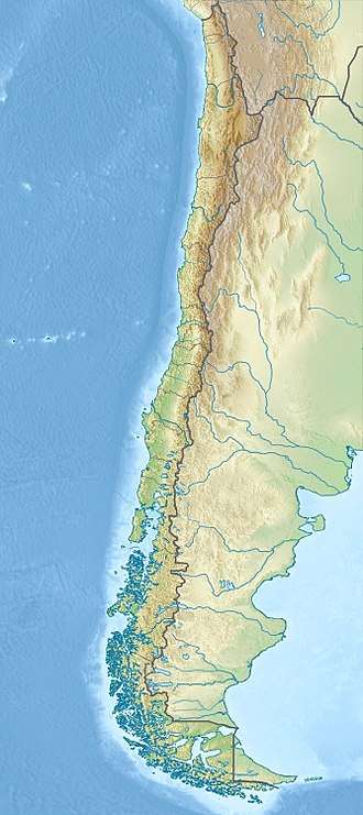 Cerro del Azufre Location of Cerro del Azufre in Chile | |
| Location | Chile |
| Parent range | Andes |
| Geology | |
| Mountain type | Stratovolcano |
| Last eruption | Unknown |
| Wikimedia Commons has media related to Cerro del Azufre. |
Cerro del Azufre (Spanish pronunciation: [ˈsero ðel aˈsufɾe]) is a stratovolcano located in El Loa Province, Antofagasta Region, Chile. It is part of a chain of volcanoes that separate Upper Loa River basin from Salar de Ascotán basin and is flanked to the west by a dacitic lava dome called Chanka or Pabellón. The 6000 metre volcanoes San Pedro and San Pablo are located to the southwest of Cerro del Azufre.
See also
References
This article is issued from
Wikipedia.
The text is licensed under Creative Commons - Attribution - Sharealike.
Additional terms may apply for the media files.