Brandywine Creek (Quittapahilla Creek tributary)
| Brandywine Creek (Quittapahilla Creek) | |
|---|---|
| Country | United States of America |
| Physical characteristics | |
| Main source | 40°22′10″N 76°23′43″W / 40.36944°N 76.39528°W[1] |
| River mouth |
Quittapahilla Creek 456 ft (139 m)[1] 40°20′17″N 76°26′10″W / 40.33806°N 76.43611°WCoordinates: 40°20′17″N 76°26′10″W / 40.33806°N 76.43611°W[1] |
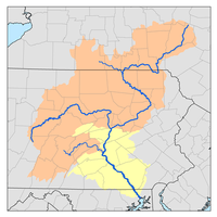
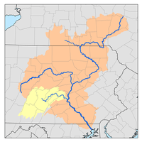
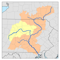
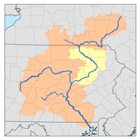
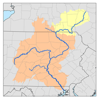
Brandywine Creek[2] is a 3.0-mile-long (4.8 km)[3] tributary of Quittapahilla Creek in Lebanon County, Pennsylvania, in the United States.
It rises in northeastern Lebanon County and flows southwest through Lebanon, through the limestone hill country south of the Appalachian Mountains. It joins Quittapahilla Creek west of the center of Lebanon.
Stovers Dam 40°21′13″N 76°24′38″W / 40.35361°N 76.41056°W[4] and Recreation Area is the principal landmark along Brandywine Creek.
See also
References
- 1 2 3 U.S. Geological Survey Geographic Names Information System: Brandywine Creek (Quittapahilla Creek tributary)
- ↑ United States Geological Survey Hydrological Unit Code: 02-05-03-05- Lower Susquehanna–Swatara Watershed
- ↑ U.S. Geological Survey. National Hydrography Dataset high-resolution flowline data. The National Map Archived 2012-04-05 at WebCite, accessed August 8, 2011
- ↑ U.S. Geological Survey Geographic Names Information System: Stovers Dam
External links
- "Quittapahilla Watershed Organization". Quittapahilla Watershed Association.
- "Quittapahilla Watershed Grant". Pennsylvania. Archived from the original on 2004-10-10.

This article is issued from
Wikipedia.
The text is licensed under Creative Commons - Attribution - Sharealike.
Additional terms may apply for the media files.