Otego Creek
| Otego Creek | |
| Country | United States |
|---|---|
| State | New York |
| County | Otsego |
| Tributaries | |
| - left | Keyes Brook |
| - right | Clark Brook, West Branch Otego Creek, Pool Brook, Lake Brook, Wharton Creek, Harrison Creek, Banner Creek |
| Source | |
| - location | Otsego |
| - coordinates | 42°43′00″N 75°01′33″W / 42.71667°N 75.02583°W [1] |
| Mouth | Susquehanna River |
| - location | Oneonta |
| - coordinates | 42°25′39″N 75°07′22″W / 42.42750°N 75.12278°WCoordinates: 42°25′39″N 75°07′22″W / 42.42750°N 75.12278°W [1] |
| Length | 32.7 mi (53 km) [2] |
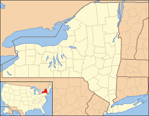 Location of the mouth of the Otego Creek in New York State | |
Otego Creek is a 32.7-mile-long (52.6 km)[2] tributary of the Susquehanna River in central New York, USA.
Otego Creek rises in the town of Otsego and flows south through Hartwick and Laurens, joining the Susquehanna in the western part of the city of Oneonta in the southernmost part of Otsego County.
History
On a 1790 map of Otsego County, Otego Creek is shown on the map as Adiga Creek.[3]
See also
References
- 1 2 "Otego Creek". Geographic Names Information System. United States Geological Survey. Retrieved May 5, 2016.
- 1 2 U.S. Geological Survey. National Hydrography Dataset high-resolution flowline data. The National Map, accessed August 8, 2011
- ↑ historical map works, historical map works (1790). "1790 Land permit map". Historicmapworks.com. historic map works. Retrieved 16 April 2017.
data
This article is issued from
Wikipedia.
The text is licensed under Creative Commons - Attribution - Sharealike.
Additional terms may apply for the media files.