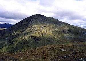
Beinn Ìme
| Beinn Ìme | |
|---|---|
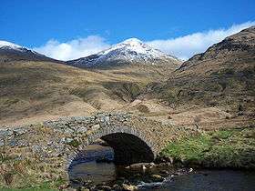 Beinn Ime seen from Butterbridge below Rest and be Thankful. | |
| Highest point | |
| Elevation | 1,011 m (3,317 ft) [1] |
| Prominence | c. 696 m |
| Parent peak | Ben Lui |
| Listing | Munro, Marilyn |
| Naming | |
| Translation | Butter mountain (Scottish Gaelic) |
| Pronunciation |
Gaelic [peɲˈimə] ( |
| Geography | |
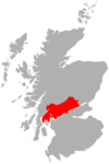
| Location | Argyll and Bute, Scotland |
| Parent range | Arrochar Alps, Grampian Mountains |
| OS grid | NN255084 |
Beinn Ìme /ˌbɛn
References
- ↑ "walkhighlands Beinn Ime". walkhighlands.co.uk. 2013. Retrieved 16 October 2013.
- ↑ G.M. Miller, BBC Pronouncing Dictionary of British Names (Oxford UP, 1971), p. 8.
External links
 |  | ||
| Northern Highlands | 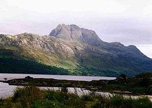   | |
|---|---|---|
| Western Highlands | ||
| Central and Eastern Highlands | ||
| Southern Highlands | ||
| Islands | ||
| Scottish Lowlands, England and Wales | ||
Coordinates: 56°14′10″N 4°49′01″W / 56.23601°N 4.81704°W