Askival
| Askival | |
|---|---|
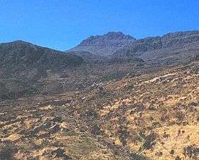 Askival from the path between Kinloch and Dibidil | |
| Highest point | |
| Elevation | 812 m (2,664 ft) |
| Prominence | 812 m (2,664 ft) Ranked 33rd in British Isles |
| Parent peak | none - HP Rùm |
| Listing | Marilyn, Corbett |
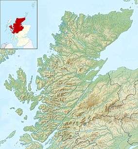
| Coordinates | 56°58′27″N 6°17′30″W / 56.97424°N 6.29168°WCoordinates: 56°58′27″N 6°17′30″W / 56.97424°N 6.29168°W |
| Naming | |
| Translation | Ash tree mountain (Norse) |
| Pronunciation | /ˈæskɪvɑːl/ |
| Geography | |
| OS grid | NM393952 |
| Topo map | OS Landranger 39 |
Askival is the highest mountain on the island of Rùm, in the Inner Hebrides of Scotland. It is located 5 kilometres (3.1 mi) south of Kinloch, the main village on the island. It is part of the Rùm Cuillin, a rocky range of hills in the southern end of Rùm. It is often climbed as part of a full traverse of the ridge.
External links
| Wikimedia Commons has media related to Askival. |
| Northern Highlands | 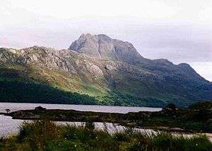  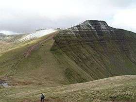 | |
|---|---|---|
| Western Highlands | ||
| Central and Eastern Highlands | ||
| Southern Highlands | ||
| Islands | ||
| Scottish Lowlands, England and Wales | ||
This article is issued from
Wikipedia.
The text is licensed under Creative Commons - Attribution - Sharealike.
Additional terms may apply for the media files.