Balhinch, Indiana
| Balhinch, Indiana | |
|---|---|
| Unincorporated community | |
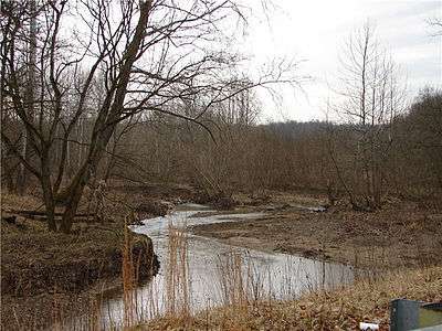 Offield Creek in Balhinch | |
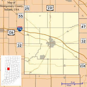 Balhinch Location in Montgomery County | |
| Coordinates: 39°59′40″N 86°59′14″W / 39.99444°N 86.98722°WCoordinates: 39°59′40″N 86°59′14″W / 39.99444°N 86.98722°W | |
| Country | United States |
| State | Indiana |
| County | Montgomery |
| Township | Union |
| Settled | February 1821 |
| Area | |
| • Total | 2 sq mi (5 km2) |
| Elevation | 620 ft (190 m) |
| Time zone | UTC-5 (Eastern (EST)) |
| • Summer (DST) | UTC-4 (EDT) |
| ZIP Code | 47933 |
| Area code(s) | 765 |
Balhinch is two-mile-square unincorporated community in Union Township, Montgomery County, in the U.S. state of Indiana. Balhinch includes Rattlesnake Canyon and Weir Cemetery.
History
The Balhinch area was originally settled by William Offield in February 1821, five miles southwest of Crawfordsville in Section 21 in an area with two streams — Sugar Creek and Offield's Creek. A monument to William Offield stands near Offield's Creek.
It was formally platted in the 1920s and the boundaries legally defined.[1]
Notable person
- Caroline Virginia Krout, author
Gallery
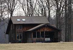 Residence in Balhinch
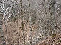 Rattlesnake Canyon
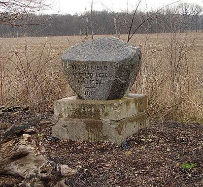 Offield Monument on road near creek
References
- ↑ Riggs, Constance Kakavecos (1976). Montgomery County Remembers. Crawfordsville, Ind.: Montgomery County Historical Society. pp. 43–50.
Municipalities and communities of Montgomery County, Indiana, United States | ||
|---|---|---|
| City | ||
| Towns | ||
| Townships | ||
| CDP | ||
| Other unincorporated communities | ||
| Footnotes | ‡This populated place also has portions in an adjacent county or counties | |
This article is issued from
Wikipedia.
The text is licensed under Creative Commons - Attribution - Sharealike.
Additional terms may apply for the media files.