Ames, Indiana
| Ames, Indiana | |
|---|---|
| Unincorporated community | |
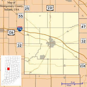 Ames Location in Montgomery County | |
| Coordinates: 40°02′00″N 86°53′13″W / 40.03333°N 86.88694°WCoordinates: 40°02′00″N 86°53′13″W / 40.03333°N 86.88694°W | |
| Country | United States |
| State | Indiana |
| County | Montgomery |
| Township | Union |
| Elevation[1] | 781 ft (238 m) |
| Time zone | UTC-5 (Eastern (EST)) |
| • Summer (DST) | UTC-4 (EDT) |
| ZIP code | 47933 |
| Area code(s) | 765 |
| GNIS feature ID | 430136 |
Ames is an unincorporated community in Union Township, Montgomery County, in the U.S. state of Indiana.[2]
It is located within the city limits of Crawfordsville.
Geography
Ames is located at 40°02′00″N 86°53′13″W / 40.03333°N 86.88694°W.
References
- ↑ "US Board on Geographic Names". United States Geological Survey. October 25, 2007. Retrieved 2016-11-17.
- ↑ "Ames, Indiana". Geographic Names Information System. United States Geological Survey. Retrieved 2017-06-17.
Municipalities and communities of Montgomery County, Indiana, United States | ||
|---|---|---|
| City | ||
| Towns | ||
| Townships | ||
| CDP | ||
| Other unincorporated communities | ||
| Footnotes | ‡This populated place also has portions in an adjacent county or counties | |
This article is issued from
Wikipedia.
The text is licensed under Creative Commons - Attribution - Sharealike.
Additional terms may apply for the media files.