Antuco (volcano)
| Antuco | |
|---|---|
 | |
| Highest point | |
| Elevation | 2,979 m (9,774 ft) |
| Coordinates | 37°24′21″S 71°20′57″W / 37.40583°S 71.34917°W |
| Geography | |
 Antuco Location of Antuco in Chile | |
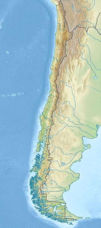
| Location | Chile |
| Parent range | Andes |
| Geology | |
| Mountain type | Stratovolcano |
| Volcanic arc/belt | South Volcanic Zone |
| Last eruption | 1869 |
| Climbing | |
| First ascent | 1829 by Eduard Poeppig |
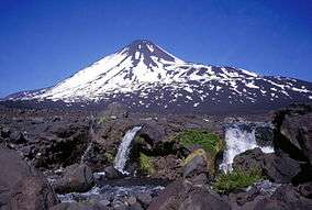
Antuco Volcano is a stratovolcano located in the Bío Bío Region of Chile, near Sierra Velluda and on the shore of Laguna del Laja.
Eruptions
The first registered eruption occurred in 1624 but its is known that the volcano experienced some activity in the 16th century.[1] The 1624 eruption was strombolian forming a lava flow and resulting the ejection of pyroclasts.[1] Beginning with this eruption many more were recorded as the volcano lied near an Andean mountain pass transited by the Spanish.[1]
24–30 April 2013
In April 2013, there were reported signs of activity sighted by nearby inhabitants - a pilot even reported ash spewing from the volcano. The Volcanic Ash Advisory Center in Buenos Aires, Argentina, investigated and determined that only trace gases and steam had emerged from Antuco.[2]
In literature
References
- 1 2 3 Petit-Breuilh 2004, p. 105.
- ↑ "Pronósticos de dispersión de Ceniza Volcánica". smn.gov.ar/vaac/buenosaires. VAAC. Retrieved 19 March 2015.
Bibliography
- Petit-Breuilh Sepúlveda, María Eugenia (2004). La historia eruptiva de los volcanes hispanoamericanos (Siglos XVI al XX): El modelo chileno (in Spanish). Huelva, Spain: Casa de los volcanes. ISBN 84-95938-32-4.