Abermule with Llandyssil
| Abermule with Llandyssil | |
|---|---|
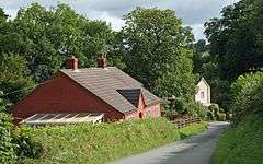 Road To Llandyssil | |
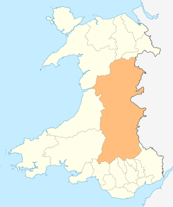
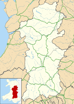 Abermule with Llandyssil Abermule with Llandyssil shown within Powys | |
| Principal area | |
| Country | Wales |
| Sovereign state | United Kingdom |
| Post town | MONTGOMERY |
| Postcode district | SY15 |
| Dialling code | 01686 |
| Police | Dyfed-Powys |
| Fire | Mid and West Wales |
| Ambulance | Welsh |
| EU Parliament | Wales |
| UK Parliament | |
| Website | Abermule with Llandyssil Community Council |
Abermule with Llandyssil (Welsh: Abermiwl gyda Llandysul) is a community in Montgomeryshire, Powys, Wales,[1] including the villages of Abermule and Llandyssil,[2] and had a population of 1527 as of the 2011 UK Census.[3] It also includes settlements of Llanmerewig and Green Lane.[4]
The community, located near the border with England,[5] is mainly English-speaking.
History
In the 1986 Review, Abermule with Llandyssil was formed from the former Llandyssil community, with the inclusion of parts of the former Bettws and Newtown communities, Abermule, Llanmerewig, and Llandyssil.[4]
As at 2005, the community was divided for electoral purposes into two wards: Abermule in the west and Llandyssil in the east; each ward elected five councillors.[6] By 2017, there were seven council seats for Abermule, which had expanded in population, and four for Llandyssil,[2] although in both wards fewer councillors than that were nominated.
The railway[4] now known as the Cambrian Line[7] runs through the Community, following the river Severn.[4] The former Abermule railway station is now closed.[7]
References
- ↑ "Home – Abermule with Llandyssil Community Council". www.abermulewithllandyssilcommunitycouncil.org.uk. Retrieved 22 May 2017.
- 1 2 "Powys County Council – Election of Community Councillors" (PDF). Government of Powys. Retrieved 22 May 2017.
- ↑ "Community population 2011". Archived from the original on 29 July 2014. Retrieved 10 November 2015.
- 1 2 3 4 "Abermule and its history". Abermule with Llandyssil Community Council. Retrieved 22 May 2017.
- ↑ "Abermule with Llandyssil (52.544950, −3.213983)". Google maps. Retrieved 22 May 2017.
- ↑ "Llandyssil" (PDF). Government of Powys. Retrieved 22 May 2017.
- 1 2 Butt, R. V. J. (1995). The Directory of Railway Stations: details every public and private passenger station, halt, platform and stopping place, past and present (1st ed.). Sparkford: Patrick Stephens Ltd. p. 12. ISBN 978-1-85260-508-7. OCLC 60251199.