1970 Gediz earthquake
 | |
| UTC time | 1970-03-28 21:02:24 |
|---|---|
| ISC event | 798506 |
| USGS-ANSS | ComCat |
| Local date | 28 March 1970[1] |
| Local time | 23:02:24 |
| Magnitude | 7.2 Ms (ISC) |
| Depth | 17.7 km |
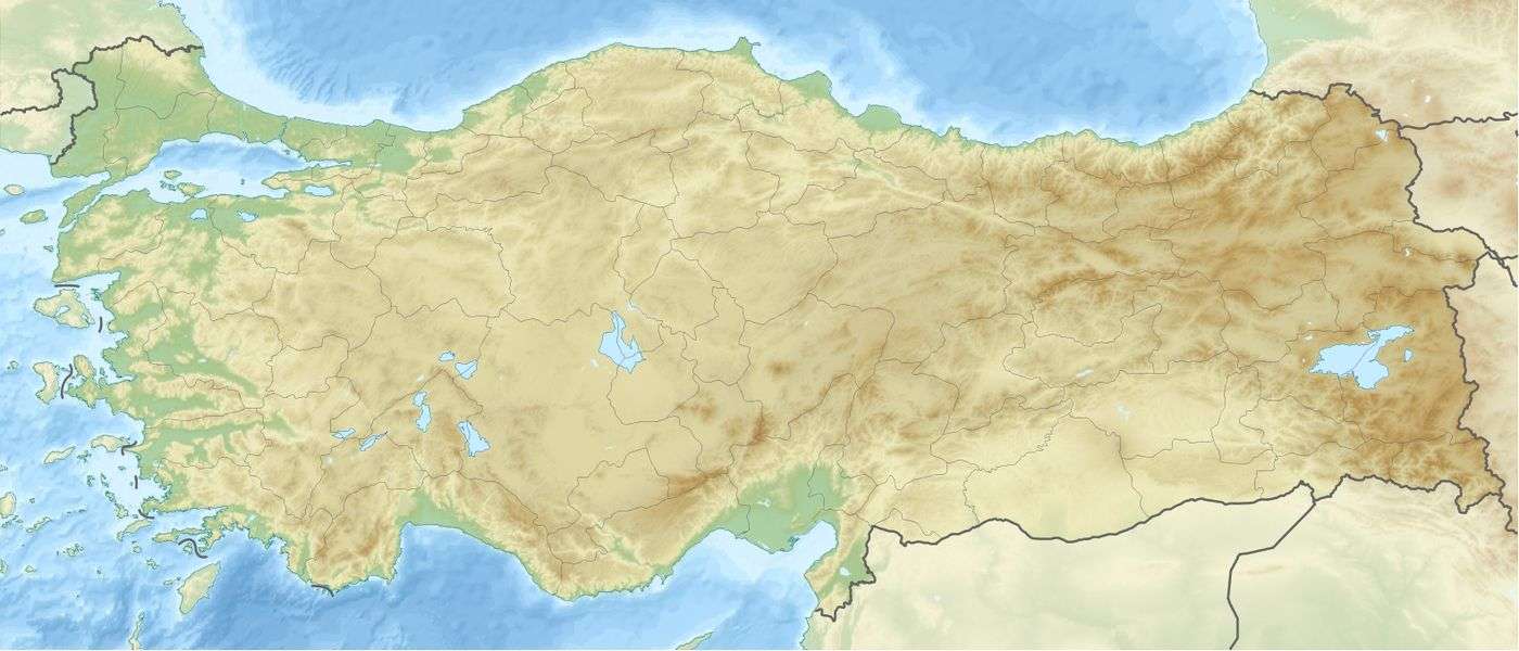
| Epicenter | 39°12′N 29°30′E / 39.2°N 29.5°ECoordinates: 39°12′N 29°30′E / 39.2°N 29.5°E |
| Areas affected | Turkey |
| Casualties | 1,086 dead, 1,260 injured[1] |
The 1970 Gediz earthquake (also known as the 1970 Kütahya-Gediz earthquake) struck western Turkey on 28 March at about 23:02 local time, with an estimated magnitude of 7.2 on the Ms scale.
The event killed 1,086 people and left 1,260 people wounded and many thousands homeless in Gediz.[1] a district of Kütahya Province situated 98 km (61 mi) southeast of Kütahya.[2] Many people were burned alive as fires broke out from overturned stoves, and 9,452 buildings in the region were severely damaged or destroyed.[1]
The town of Gediz, home to repeated natural disasters like earthquakes and floods, was relocated following a government resolution soon after the destruction to a new place 7 km (4.3 mi) away on the road to Uşak under the name "Yeni Gediz" (literally: New Gediz). The residents moved in their newly built, earthquake-resistant homes. Neighboring towns and villages were also rebuilt at places with relative minimum earthquake risk.[1]
Other major earthquakes occurred in Gediz in 1866 and 1896, and on June 25, 1944, at 07:20 local time, a magnitude 6.0 earthquake occurred in Gediz, killing 20 people and damaging around 3,500 buildings.[1]
See also
References
- 1 2 3 4 5 6 "Kütahya Gediz İlçesi-1970 Gediz Depremi" (in Turkish). Kültür Sanat. Archived from the original on May 23, 2011. Retrieved February 17, 2009.
- ↑ "Gediz" (in Turkish). Kütahya Tanıtım. Retrieved February 17, 2009.
External links
- The International Seismological Centre has a bibliography and/or authoritative data for this event.