1944 Bolu–Gerede earthquake
 | |
| UTC time | 1944-02-01 03:22:40 |
|---|---|
| ISC event | 899277 |
| USGS-ANSS | ComCat |
| Local date | 1 February 1944 |
| Local time | 05:22:40 |
| Magnitude | 7.2 Ms |
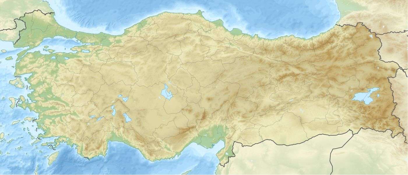
| Epicenter | 41°24′N 32°42′E / 41.4°N 32.7°ECoordinates: 41°24′N 32°42′E / 41.4°N 32.7°E[1] |
| Areas affected | Turkey |
| Total damage | 20,865 houses destroyed |
| Max. intensity | IX–X[2] |
| Casualties | 3,959 dead |
The 1944 Bolu–Gerede earthquake occurred at 05:22 local time on 1 February. The earthquake had an estimated surface wave magnitude of 7.2 and a maximum felt intensity of IX–X (Violent–Extreme) on the Mercalli intensity scale.
See also
References
- ↑ NGDC. "Comments for the Significant Earthquake". Retrieved 28 August 2010.
- ↑ Boğaziçi Üniversitesi. "Bogazici University Kandilli Observatory and Earthquake Research Institute National Earthquake Monitoring Center (NEMC) List of earthquakes 1900 - 2004 (Büyük Depremler)" (in Turkish). Retrieved 28 August 2010.
External links
- The International Seismological Centre has a bibliography and/or authoritative data for this event.
This article is issued from
Wikipedia.
The text is licensed under Creative Commons - Attribution - Sharealike.
Additional terms may apply for the media files.