1943 Tosya–Ladik earthquake
 | |
| UTC time | 1943-11-26 22:20:48 |
|---|---|
| ISC event | 900102 |
| USGS-ANSS | ComCat |
| Local date | 27 November 1943 |
| Local time | 00:20:48 |
| Magnitude | 7.5 Mw[1] |
| Depth | 20 km (12 mi)[1] |
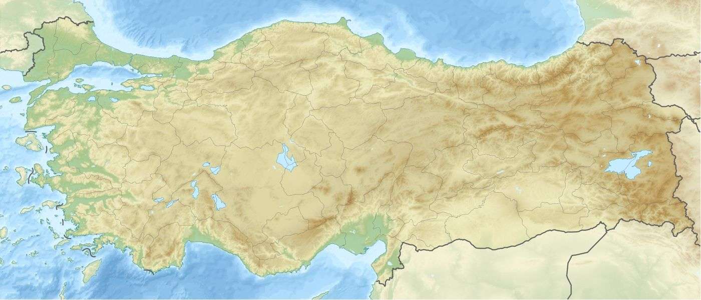
| Epicenter | 40°52′N 33°39′E / 40.87°N 33.65°ECoordinates: 40°52′N 33°39′E / 40.87°N 33.65°E[1] |
| Fault | North Anatolian Fault[2] |
| Areas affected | Turkey |
| Max. intensity | IX–X[3] |
| Casualties |
2,824–5,000 deaths[4] 5,000 injuries[5] |
The 1943 Tosya–Ladik earthquake occurred at 00:20 local time on 27 November, near Tosya, Kastamonu Province, in northern Turkey. The earthquake had an estimated moment magnitude of 7.5 and a maximum felt intensity of between IX–X (Violent to Extreme) on the Mercalli intensity scale.
Casualties
A variety of casualty estimates have been provided for this event. The United States' National Geophysical Data Center's significant earthquake database and the USGS' PAGER loss estimate database both list 4,020 fatalities, while the Belgian Centre for Research on the Epidemiology of Disasters' EM-DAT database, and Kubat et al. 2008 show 2,824. Utsu 2002 lists 4,020 as its primary entry while also acknowledging estimates of 2,824 and 5,000.[4][5][6]
See also
References
- 1 2 3 ISC (2015), ISC-GEM Global Instrumental Earthquake Catalogue (1900–2009), Version 2.0, International Seismological Centre
- ↑ Toksöz, M.N.; Shakal A.F. & Michael A.J. (1979). "Space-time migration of earthquakes along the North Anatolian fault zone and seismic gaps". Pure and Applied Geophysics. 117 (6): 1258–1270. Bibcode:1979PApGe.117.1258T. doi:10.1007/BF00876218.
- ↑ Boğaziçi Üniversitesi. "Bogazici University Kandilli Observatory and Earthquake Research Institute National Earthquake Monitoring Center (NEMC) List of earthquakes 1900–2004 (Büyük Depremler)" (in Turkish). Retrieved 28 August 2010.
- 1 2 USGS (September 4, 2009), PAGER-CAT Earthquake Catalog, Version 2008_06.1, United States Geological Survey
- 1 2 Utsu, T. R. (2002), "A List of Deadly Earthquakes in the World: 1500–2000", International Handbook of Earthquake & Engineering Seismology, Part A, Volume 81A (First ed.), Academic Press, ISBN 978-0-12-440652-0
- ↑ Kubat, A. S.; Eyüboĝlu, E.; Ertekin, Ö.; Sari, F. (2008), "Earthquake as a Fact of Istanbul: Risk-based Strategy and an Action Plan for the Vulnerable Zeytinburnu Area", Vulnerable Cities: Realities, Innovations and Strategies, cSUR-UT Series: Library for Sustainable Urban Regeneration, 8, p. 280, doi:10.1007/978-4-431-78149-3_14
External links
- The International Seismological Centre has a bibliography and/or authoritative data for this event.
This article is issued from
Wikipedia.
The text is licensed under Creative Commons - Attribution - Sharealike.
Additional terms may apply for the media files.