Westbourne, West Sussex
Westbourne is a village, civil parish and electoral ward in the Chichester District of West Sussex, England. It is located 0.5 miles (0.80 km) north east of Emsworth. The parish includes the hamlets of Woodmancote and Aldsworth, and once included the settlements of Southbourne and Prinsted to the south. The village stands on the River Ems, a small river flowing into Chichester Harbour at Emsworth. It is believed that the village takes its name from its position on the river, which traditionally marks the westernmost boundary of Sussex,[3] bourne being an archaic term for a boundary[4] as well as for a small river or brook.
| Westbourne | |
|---|---|
 St John the Baptist Church | |
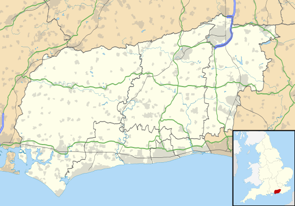 Westbourne Location within West Sussex | |
| Area | 7.47 km2 (2.88 sq mi) [1] |
| Population | 2,309 [2] 2011 Census |
| • Density | 286/km2 (740/sq mi) |
| OS grid reference | SU756074 |
| • London | 56 miles (90 km) NE |
| Civil parish |
|
| District |
|
| Shire county | |
| Region | |
| Country | England |
| Sovereign state | United Kingdom |
| Post town | EMSWORTH |
| Postcode district | PO10 |
| Dialling code | 01243 |
| Police | Sussex |
| Fire | West Sussex |
| Ambulance | South East Coast |
| UK Parliament | |
| Website | http://www.westbournevillage.org/ |
The parish covers an area of 1,846 acres (747 ha). The population of the village in 2011 is 2,309, 1,656 of whom are economically active, and who live in 1,000 households.[2]
Westbourne contains 66 listed buildings some dating back to the 16th Century,[3] though written evidence of habitation can be found in the Domesday Book of 1086.[5] The medieval Church of St John the Baptist is notable for its fine yew avenue, which is apparently the oldest in England, and walled graveyard. Nicholas Levett, a native of Petworth and fellow of Balliol College, Oxford, was longtime minister of St John the Baptist. He was buried in Beckley, Oxfordshire, in 1687.[6]
Commonside forms the northern edge of the village of Westbourne. This area is centred on a village pub called the Cricketers which is located near the village cricket pitch. There are two other public houses, the White Horse and the Stag's Head, both in The Square, at the centre of the oldest part of the village. Until 2010, a third pub called the Good Intent was open in North Street, but this has now closed and has been converted to a private home.
As of April 2011, the north-eastern and eastern edges of the village now form boundaries with the newly designated South Downs National Park.
Westbourne is part of the Chichester constituency, a safe Conservative seat since 1924. The District Councillor is Mark Dunn, who won a by-election in Autumn 2013, when Maureen Elliot stood down due to ill health.
Notable residents
- George Sparkes (1845-1908), cricketer[7]
- Tim Peake (1972–present), test pilot and astronaut[8] (though not currently living in Westbourne)
References
- "2001 Census: West Sussex – Population by Parish" (PDF). West Sussex County Council. Archived from the original (PDF) on 8 June 2011. Retrieved 25 May 2009.
- content
- About Westbourne - Westbourne Village Website
- Wiktionary entry on 'bourne'
- National Archives Record from the Domesday Book
- Alumni Oxoniensis: The Members of the University of Oxford, 1500-1714 : Their Parentage, Birthplace, and Year of Birth, with a Record of Their Degrees: Being the Matriculation Register of the University, University of Oxford, Joseph Foster, University of Oxford, Published by Parker, 1891
- "Player profile: George Sparkes". CricketArchive. Retrieved 14 November 2011.
- "Astronaut profile: Tim Peake". ESA website.
Further reading
Roch, Lucinda and Toms, Matthew (2005) The Westbourne Story, Emsworth: Kenneth Mason Publications, p. 192, ISBN 0-85937-404-1
External links
