East Wittering and Bracklesham
East Wittering and Bracklesham is a civil parish in the Chichester district of West Sussex, England. The parish lies on the coast of the Manhood Peninsula, approximately six miles (9.6 km) southwest of Chichester. It comprises the built up areas of Bracklesham and the eastern half of East Wittering, the western half of which lies within the boundary of West Wittering civil parish. To the east of Bracklesham used to be East Thorney, a detached portion of East Wittering separated from the body of the parish by a very narrow strip of Earnley. East Thorney is now under the sea off Bracklesham.[2]
| East Wittering and Bracklesham | |
|---|---|
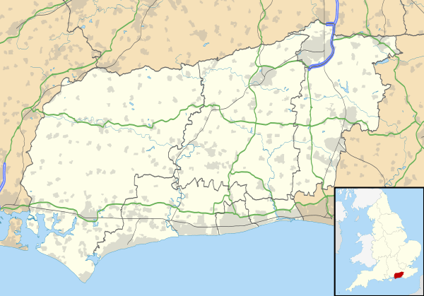 East Wittering and Bracklesham Location within West Sussex | |
| Area | 3.85 km2 (1.49 sq mi) [1] |
| Population | 4,117 [1] 2001 Census |
| • Density | 1,070/km2 (2,800/sq mi) |
| OS grid reference | SZ795973 |
| • London | 60 miles (97 km) NNE |
| Civil parish |
|
| District |
|
| Shire county | |
| Region | |
| Country | England |
| Sovereign state | United Kingdom |
| Post town | CHICHESTER |
| Postcode district | PO20 |
| Dialling code | 01243 |
| Police | Sussex |
| Fire | West Sussex |
| Ambulance | South East Coast |
| UK Parliament | |
| Website | http://www.ewbpc.org.uk/ |
Landmarks
The Site of Special Scientific Interest Bracklesham Bay is within the parish. It is an area of biological and geological interest.[3]
References
- "2001 Census: West Sussex – Population by Parish" (PDF). West Sussex County Council. Archived from the original (PDF) on 8 June 2011. Retrieved 2 May 2009.
- Salzman, L.F., ed. (1953). "East Wittering". A History of the County of Sussex: Volume 4: The Rape of Chichester. Institute of Historical Research. Retrieved 24 August 2016.
- "SSSI Citation — Bracklesham Bay" (PDF). Natural England. Retrieved 4 April 2009. Cite journal requires
|journal=(help)
This article is issued from Wikipedia. The text is licensed under Creative Commons - Attribution - Sharealike. Additional terms may apply for the media files.