East Lavington
East Lavington, formerly Woolavington, is a village and civil parish in the District of Chichester in West Sussex, England.[3] It is located six kilometres (4 miles) south of Petworth, west of the A285 road.
| East Lavington | |
|---|---|
 East Lavington House and Church | |
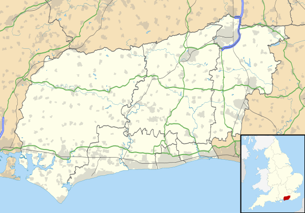 East Lavington Location within West Sussex | |
| Area | 7.97 km2 (3.08 sq mi) [1] |
| Population | 273. 2011 Census[2] |
| • Density | 45/km2 (120/sq mi) |
| OS grid reference | SU946162 |
| • London | 45 miles (72 km) *NNE |
| Civil parish |
|
| District |
|
| Shire county | |
| Region | |
| Country | England |
| Sovereign state | United Kingdom |
| Post town | PETWORTH |
| Postcode district | GU28 |
| Dialling code | 01798 |
| Police | Sussex |
| Fire | West Sussex |
| Ambulance | South East Coast |
| UK Parliament | |
| Website | http://www.eastlavingtonpc.org.uk/ |
West Lavington was formerly an exclave of Woolavington.[4]
The parish has a land area of 797 hectares (1968 acres). In the 2001 census 357 people lived in 87 households, of whom 129 were economically active. It includes the settlement of Upper Norwood.
The parish is dominated by Seaford College, a private school which owns 400 acres (1.6 km2). The ancient parish church has become the school chapel.
References
- "2001 Census: West Sussex – Population by Parish" (PDF). West Sussex County Council. Archived from the original (PDF) on 8 June 2011. Retrieved 12 April 2009.
- "Civil parish population 2011". Retrieved 14 October 2015.
- "The Lavington Estate Archives". The National Archives. Retrieved 6 August 2015.
- "A History of the County of Sussex: Volume 4, the Rape of Chichester. Originally published by Victoria County History, London, 1953". British History Online. 1953. p. 65. Retrieved 6 August 2015.
This article is issued from Wikipedia. The text is licensed under Creative Commons - Attribution - Sharealike. Additional terms may apply for the media files.