Tarring Neville
Tarring Neville is a village and civil parish in the Lewes District of East Sussex, England. The village is located five miles (8 km) south of Lewes, on the A26 road to Newhaven. The south west border of the parish runs along the River Ouse, the parish extending into the South Downs.
| Tarring Neville | |
|---|---|
 St Mary's Church | |
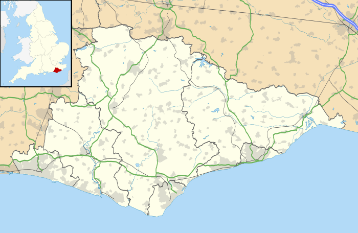 Tarring Neville Location within East Sussex | |
| Area | 1.56 sq mi (4.0 km2) [1] |
| Population | 36 (Parish-1971) [2] |
| • Density | 23/sq mi (8.9/km2) |
| OS grid reference | TQ442037 |
| • London | 48 miles (77 km) N |
| Civil parish |
|
| District |
|
| Shire county | |
| Region | |
| Country | England |
| Sovereign state | United Kingdom |
| Post town | NEWHAVEN |
| Postcode district | BN9 |
| Dialling code | 01273 |
| Police | Sussex |
| Fire | East Sussex |
| Ambulance | South East Coast |
| UK Parliament | |
Landmarks
The parish church, dedicated to St Mary, is a Grade I listed building. It was built in the 13th century and has a 14th-century font.[3] Two other Grade II listed buildings, the Manor Farmhouse and associated barn, are within the parish.
Governance
On a local level, the parish is governed with a Parish meeting although there have been no representations in recent years.[4]
The next level of government is the district council. The parish of Tarring Neville lies within the Ouse Valley and Ringmer ward of Lewes District Council, which returns three seats to the council.
East Sussex County Council is the next tier of government, for which Tarring Neville is within the Ouse Valley East division, with responsibility for Education, Libraries, Social Services, Civil Registration, Trading Standards and Transport. Elections for the County Council are held every four years.
The UK Parliament constituency for Tarring Neville is Lewes.
At European level, Tarring Neville is represented by the South-East England constituency, which holds ten seats in the European Parliament.
Name
Tarring is believed to be derived from either Tare(tar) ing(fort or stronghold) or Torr(Tower) ing(fort or stronghold) so it translates to the Tar Fort or Tower Fort. The most likely explanation for this name is to mean that this was where ships were waterproofed with tar.
The place names ending in ing, inge or ings were usually found on higher ground, or in places which control strategic points, and appear to surround areas first settled by the Saxons.
The Neville suffix was added after the Norman conquest in 1066 when the Neville family took ownership of the village.[5]
Commerce
South of the village, along the A26 road, is the Tarring Neville chalk quarry. The quarry produces high quality chalk used locally for the manufacture of plaster. The quarry has reserves to last until 2019.[6]
References
- "A vision of Britain through time". University of Portsmouth. Retrieved 28 March 2009.
- "A vision of Britain through time". University of Portsmouth. Retrieved 4 May 2009.
- Historic England (20 August 1965). "Details from listed building database (1222661)". National Heritage List for England. Retrieved 9 August 2008.
- "Tarring Neville Parish Meeting". East Sussex Community Information Service. East Sussex County Council. Archived from the original on 28 September 2011. Retrieved 9 August 2008.
- "VillageNet". Retrieved 23 April 2014.
- "Minerals Local Plan" (PDF). East Sussex County Council and Brighton & Hove City Council. 18 November 1999. pp. Chapter 5. Archived from the original (PDF) on 22 October 2007. Retrieved 4 May 2009.
External links
- Historic England. "Parish church of St Mary (1222661)". National Heritage List for England.
- Historic England. "Manor Farmhouse (1222716)". National Heritage List for England.
- Historic England. "Barn near Manor Farmhouse (1222718)". National Heritage List for England.
