Sumka (river)
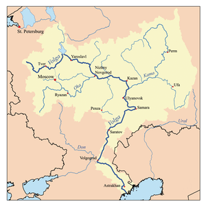
The Sumka (Russian: Сумка; Tatar: Сумка, Sumka) is a river in Zelenodolsky District of the Republic of Tatarstan, Russia, a left-bank tributary of the Volga. It is 37 kilometres (23 mi) long, and its drainage basin covers 250 square kilometres (97 sq mi). It begins near Gremyachy Klyuch and flows to the Kuybyshev Reservoir, Volga, forming the western border of Vasilyevo, Tatarstan.
| Sumka | |
|---|---|
| Location | |
| Country | Tatarstan, Russia |
| Physical characteristics | |
| Source | |
| ⁃ location | Gremyachy Klyuch, Zelenodolsky District |
| ⁃ coordinates | 55°58′54″N 48°58′16″E |
| Mouth | Volga |
⁃ location | Kuybyshev Reservoir near Vasilyevo, Zelenodolsky District |
⁃ coordinates | 55.8293°N 48.6464°E |
⁃ elevation | 53 m (174 ft) |
| Length | 37 km (23 mi) |
| Basin size | 250 km2 (97 sq mi) |
| Basin features | |
| Progression | Volga→ Caspian Sea |
The river valley comes through the Raifa section of the Volga-Kama Reserve. There the Sumka passes several major lakes, the biggest being Raifa lake. The maximal mineralization 200 mg/l. The maximal water discharge is 30 cubic metres per second (1,100 cu ft/s). The river used to dry up in summer.[1]
References
- "Сумка". Tatar Encyclopaedia (in Tatar). Kazan: The Republic of Tatarstan Academy of Sciences. Institution of the Tatar Encyclopaedia. 2002.
The river Volga | ||
|---|---|---|
| Tributaries |
|  |
| Reservoirs | ||
| Hydroelectric stations | ||
| Canals | ||
| Cities | ||
This article is issued from Wikipedia. The text is licensed under Creative Commons - Attribution - Sharealike. Additional terms may apply for the media files.