Sandnesvatnet
Sandnesvatnet (Norwegian) or Sáttonjárgjávrre (Lule Sami) is a lake in the municipality of Hamarøy in Nordland county, Norway. The European route E6 highway runs along the eastern and northern shores of the lake. The lake lies about 5 kilometres (3.1 mi) southeast of the village of Tømmerneset. The lake Strindvatnet lies just to the northwest and the lake Fjerdvatnet lies to the south of the lake.[1]
| Sandnesvatnet (Norwegian) Sáttonjárgjávrre (Lule Sami) | |
|---|---|
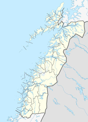 Sandnesvatnet Location of the lake Show map of Nordland Sandnesvatnet Sandnesvatnet (Norway) Show map of Norway | |
| Location | Hamarøy, Nordland |
| Coordinates | 67.8552°N 15.9734°E / 67.8552; 15.9734 |
| Basin countries | Norway |
| Max. length | 4.5 kilometres (2.8 mi) |
| Max. width | 2 kilometres (1.2 mi) |
| Surface area | 5.16 km2 (1.99 sq mi) |
| Shore length1 | 12.77 kilometres (7.93 mi) |
| Surface elevation | 45 metres (148 ft) |
| References | NVE |
| 1 Shore length is not a well-defined measure. | |
See also
- List of lakes in Norway
References
- "Sandnesvatnet" (in Norwegian). yr.no. Retrieved 2012-05-02.
This article is issued from Wikipedia. The text is licensed under Creative Commons - Attribution - Sharealike. Additional terms may apply for the media files.