Øljusjøen
Øljusjøen is a lake in the municipalities of Hemsedal (in Viken county) and Lærdal (in Vestland county), Norway. The 8.45-square-kilometre (3.26 sq mi) lake is located at an elevation of 1,335 metres (4,380 ft) above sea level. It sits about 15 kilometres (9.3 mi) southeast of the village of Borgund and the European route E16 highway. The lake Eldrevatnet is 4 kilometres (2.5 mi) to the north. The lake Juklevatnet and the mountain Høgeloft are both about 12 kilometres (7.5 mi) to the northeast.
| Øljusjøen | |
|---|---|
 Øljusjøen Location of the lake 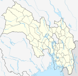 Øljusjøen Øljusjøen (Viken (county))  Øljusjøen Øljusjøen (Norway) | |
| Location | Viken/Vestland border |
| Coordinates | 60°56′40″N 08°06′36″E |
| Basin countries | Norway |
| Surface area | 8.45 km2 (3.26 sq mi) |
| Shore length1 | 20 kilometres (12 mi) |
| Surface elevation | 1,335 metres (4,380 ft) |
| References | NVE |
| 1 Shore length is not a well-defined measure. | |
Øljusjøen has a hydroelectric dam at the north end which directs water to a power station nearby. The water eventually goes into the Mørkedøla river.[1]
See also
- List of lakes in Norway
This article is issued from Wikipedia. The text is licensed under Creative Commons - Attribution - Sharealike. Additional terms may apply for the media files.