Mount Whisler
Mount Whisler is a mountain of the British Empire Range on Canada's Ellesmere Island. It is the second highest peak of the British Empire Range, of Ellesmere Island, and of the Arctic Cordillera. It is located about 12 km (7.5 mi) northeast of Barbeau Peak (2,616 m (8,583 ft)), the highest peak in the Cordillera. The Henrietta Nesmith Glacier completely surrounds Mount Whisler.[1]
| Mount Whisler | |
|---|---|
| Highest point | |
| Elevation | 2,500 m (8,200 ft) [1] |
| Prominence | 450 m (1,480 ft) [1] |
| Parent peak | Barbeau Peak (2616m)[1] |
| Coordinates | 82°01′N 74°32′W [2] |
| Geography | |
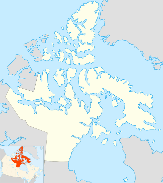
| Location | Nunavut, Canada |
| Parent range | British Empire Range |
| Topo map | NTS 340E/02[2] |
| Climbing | |
| First ascent | 1961 |
| Easiest route | basic snow climb |
The United States Army Signal Corps first mapped Mount Whisler in 1882 during their Lady Franklin Bay Expedition. It was named for Private William Whisler, a member of the party.
Further reading
- Whalley, Ted (1988). "Canadian Arctic 1987" (PDF). www.alpinejournal.org.uk. The Alpine Journal. Retrieved 2019-12-08.
References
- "Mount Whisler". Bivouac.com. Retrieved 2019-12-08.
- "Mount Whisler". Geographical Names Data Base. Natural Resources Canada. Retrieved 2019-12-08.
Sources
- Geographical Names of the Ellesmere Island National Park Reserve and Vicinity by Geoffrey Hattersley-Smith (1998) ISBN 0-919034-96-9
External links
This article is issued from Wikipedia. The text is licensed under Creative Commons - Attribution - Sharealike. Additional terms may apply for the media files.