List of mountains in Hungary
This list of mountains in Hungary is actually a series of sortable tables of major mountain peaks of Hungary. The summit of a mountain or hill may be measured or sorted in several ways.
- The topographic elevation of a summit measures the height of the summit above a geodetic sea level.[1] The first table below ranks the 10 highest major summits of Hungary by elevation with a prominence of 5 m or more. The second table is the same, just with a prominence of 100 m or more.
- The topographic prominence of a summit is a measure of how high the summit rises above its surroundings. The third table below ranks the 20 most prominent summits of Hungary.
- The highest summit of a given area. It could be an administrative region (e.g. county as it is in fourth table) or a mountain range as it is in fifth table.
- The topographic isolation (or radius of dominance) of a summit measures how far the summit lies from its nearest point of equal elevation.
Mountains by elevation
Mountains by elevation (with a prominence of 5 m or more)
| Rank | Mountain | Height (m) | Prominence (m) | Range | County | Coordinates |
|---|---|---|---|---|---|---|
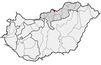
| 1 | Kékes | 1014.0 | 774 | Mátra | Heves County | 47°52′21″N 20°00′30″E |
| 2 | Hidas-bérc | 972.7 | 10 | Mátra | Heves County | 47°51′36″N 20°00′57″E |
| 3 | Galya-tető | 964.7 | 349 | Mátra | Heves County | 47°54′59″N 19°54′59″E |
| 4 | Szilvási-kő | 960.7 | 713 | Bükk | Heves County | 48°04′16″N 20°26′06″E |
| 5 | Péter-hegyese | 960.4 | 8 | Mátra | Nógrád County | 47°55′05″N 19°55′19″E |
| 6 | Kettős-bérc-2 | 958.2 | 8 | Bükk | Heves County | 48°04′20″N 20°26′07″E |
| 7 | Istállós-kő | 958.1 | 14 | Bükk | Heves County | 48°04′10″N 20°25′49″E |
| 8 | Bálvány | 956.4 | 81 | Bükk | Heves County | 48°05′58″N 20°28′20″E |
| 9 | Körös-bérc | 955.9 | 61 | Bükk | Heves County | 48°04′16″N 20°27′12″E |
| 10 | Virágos-sár-bérc | 955.0 | 30 | Bükk | Heves County | 48°04′02″N 20°26′37″E |
Mountains with a prominence of 100 m or more
| Rank | Mountain | Height (m) | Prominence (m) | Range | County | Coordinates |
|---|---|---|---|---|---|---|
| 1 | Kékes | 1014.0 | 774 | Mátra | Heves County | 47°52′21″N 20°00′30″E |
| 2 | Galya-tető | 964.7 | 349 | Mátra | Heves County | 47°54′59″N 19°54′59″E |
| 3 | Szilvási-kő | 960.7 | 713 | Bükk | Heves County | 48°04′16″N 20°26′06″E |
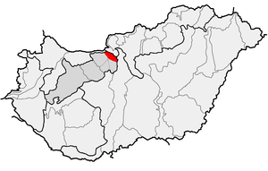
| 4 | Csóványos | 937.9 | 710 | Börzsöny | Pest County, Nógrád County | 47°56′57″N 18°56′54″E |
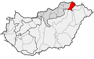
| 5 | Nagy-Milic | 894.7 | 585 | Zemplén Mountains | Borsod-Abaúj-Zemplén County | 48°34′36″N 21°27′29″E |
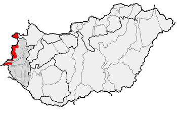
| 6 | Írott-kő | 884.0 | 414 | Kőszeg Mountains | Vas County | 47°21′10″N 16°26′02″E |
| 7 | Tót-hegyes | 815.8 | 170 | Mátra | Heves County | 47°52′22″N 19°49′56″E |
| 8 | Muzsla | 805.1 | 180 | Mátra | Nógrád County | 47°53′16″N 19°45′33″E |
| 9 | Gergely-hegy | 783.2 | 428 | Zemplén Mountains | Borsod-Abaúj-Zemplén County | 48°24′58″N 21°18′37″E |
| 10 | Pilis-tető | 755.5 | 606 | Pilis Mountains | Pest County | 47°41′19″N 18°52′25″E |
Mountains by prominence
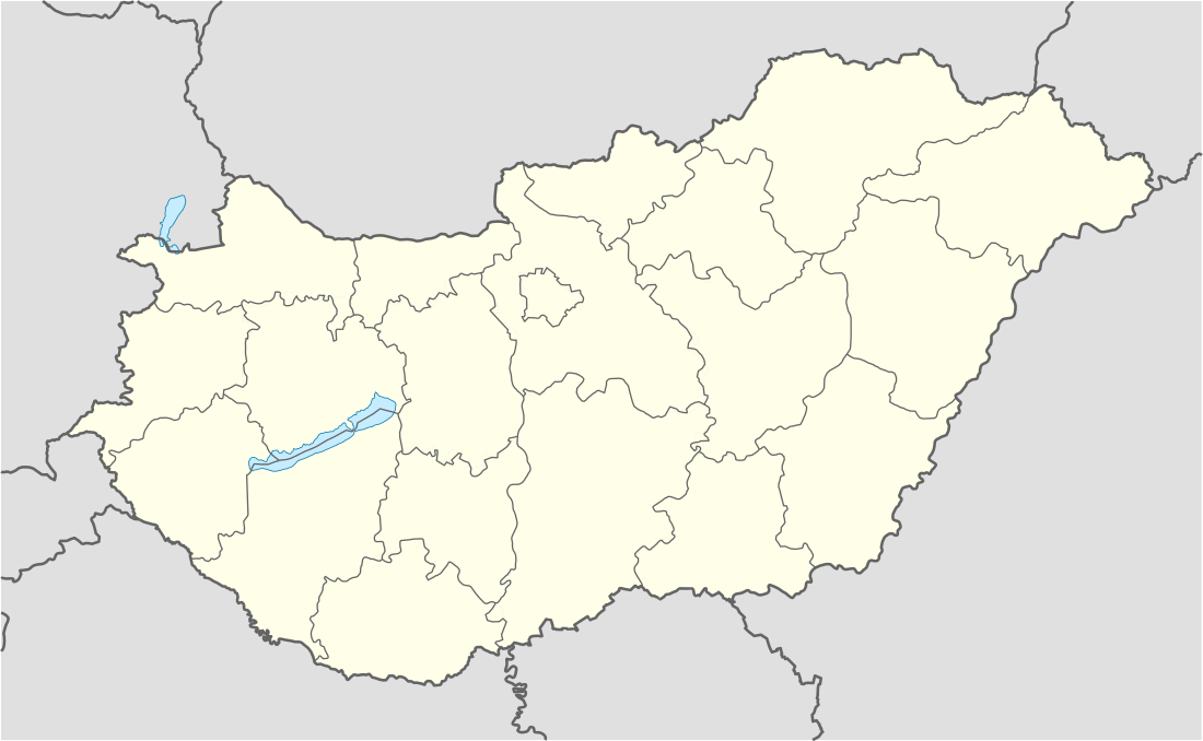
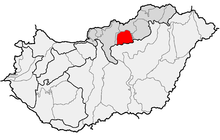
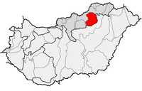
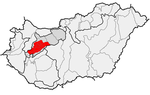
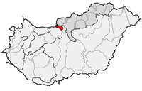
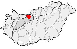
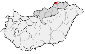
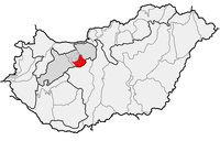
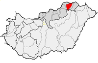
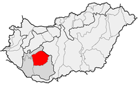
Highest mountain of each county and Budapest
Location
Kékes 1014m
Péter-hegyese 960m
Felső-Borovnyák 945m
Csóványos 938m
Írott-kő 884m
Kőris-hegy 711 m
Kék-hegy 661m
Dobogókő 700 m
Zengő 682m
Dobogó 594m
János-hegy 527m
Csóka-hegy 479m
Köves-domb 479m
Köves-tető 444m
Alman-tető 316m
Bárci-tető 220m
Ólom-hegy 172m
Sós-hegy 172m
Hármas-határ 136m
Bukor-hegy 130m
Landmark #B86 108m
Location of Highest mountain of each county and Budapest
Lists of mountain ranges in Hungary


List of the most isolated summits of Hungary
| Rank [8] | Mountain | Isolation (km) | Height (m) | Coordinates | Nearest higher neighbour | Height (m) |
|---|---|---|---|---|---|---|
| 1 | Köris-hegy Bakony |
94,6 | 710,6 | 47°17′40″N 17°45′16″E | Pilis-tető Pilis Mountains |
757 |
| 2 | Zengő Mecsek |
87,5 | 679,9 | 46°10′48″N 18°22′38″E | Kapovac Krndija |
792 |
| 3 | Kékes Mátra |
82,6 | 1014,0 | 47°52′22″N 20°00′34″E | Javorie Javorie |
1044 |
| 4 | Csóványos Börzsöny |
50,6 | 938,2 | 47°56′57″N 18°56′54″E | Sitno Štiavnica Mountains |
1009 |
| 5 | Isten dombja Zala Hills |
43,0 | 343,3 | 46°32′14″N 16°52′57″E | Petö-hegy Kesztehely Mountains |
355 |
| 6 | Szilvási-kő Bükk |
38,5 | 960,7 | 48°04′16″N 20°26′05″E | Kékes Mátra |
1014 |
| 7 | Szársomlyó Villány Mountains |
30,8 | 442,4 | 45°51′21″N 18°24′44″E | Misina Mecsek |
533 |
| 8 | Nagy-Tenke Zala Hills |
29,1 | 331,6 | 46°34′00″N 16°30′12″E | Hahót-hegy Zala Hills |
333 |
| 9 | Gerecse Gerecse |
27,9 | 633,2 | 47°40′50″N 18°29′09″E | Nagy-Szoplák Pilis Mountains |
710 |
| 10 | Pilis-tető Pilis Mountains |
26,0 | 756,6 | 47°41′18″N 18°52′19″E | Nagy-Inóc Börzsöny |
826 |
| 11 | Karancs Karancs Hills |
25,9 | 727,3 | 48°09′30″N 19°47′22″E | Ágasvár Mátra |
789 |
| 12 | Nagy-Milic Zemplén Mountains |
25,1 | 892,8 | 48°34′36″N 21°27′29″E | Mošník Slanské Hills |
911 |
References
- If the elevation or prominence of a summit is calculated as a range of values, the arithmetic mean is shown.
- "Magyarország 700 méter feletti csúcsai".
- "viewfinderpanoramas".
- "peakbagger".
- "Balassagyarmat". Magyar BarangolÓ (in Hungarian). 2012-01-08.
- Highest peak of Sopron Mountains is Brenntenriegel (606m). It is located in Austria.
- "HM Zrinyi".
- Only peaks with height of 300 m or more are ranked.
This article is issued from Wikipedia. The text is licensed under Creative Commons - Attribution - Sharealike. Additional terms may apply for the media files.