List of airports in Tajikistan
This is a list of airports in Tajikistan, grouped by type and sorted by location.
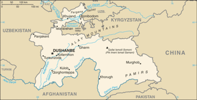
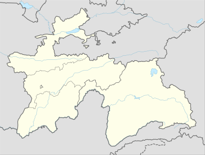
Map of Tajikistan
Dushanbe
Khorog
Khujand
Kulob
Qurghonteppa
Airports in Tajikistan
Tajikistan, officially the Republic of Tajikistan, is a mountainous landlocked country in Central Asia. Afghanistan borders it to the south, Uzbekistan to the west, Kyrgyzstan to the north, and People's Republic of China to the east. Tajikistan also lies adjacent to Pakistan, separated by the narrow Wakhan Corridor. Its capital city is Dushanbe.
Airports
Airport names shown in bold have scheduled passenger service on commercial airlines.
| Location served | Province | ICAO | IATA | Airport name | Coordinates |
|---|---|---|---|---|---|
| Public airports | |||||
| Ayni | Sughd | Ayni Airport | 39°24′14″N 068°31′26″E | ||
| Dushanbe | RRP | UTDD | DYU | Dushanbe International Airport | 38°32′36″N 068°49′30″E |
| Garm (Gharm) | RRP | Garm Airport | 39°00′14″N 070°17′29″E | ||
| Isfara | Sughd | Isfara Airport | 40°07′18″N 070°39′55″E | ||
| Khorog (Khorugh) | GBAO | UTOD | Khorog Airport | 37°30′08″N 071°30′48″E | |
| Khujand | Sughd | UTDL | LBD | Khujand Airport | 40°12′55″N 069°41′40″E |
| Kulob (Kulyab) | Khatlon | UTDK | TJU | Kulob Airport | 37°59′00″N 069°48′00″E |
| Murgab (Murghab) | GBAO | Murgab Airport | 38°11′25″N 074°01′29″E | ||
| Penjikent (Panjakent) | Sughd | Penjikent Airport | 39°29′02″N 067°36′12″E | ||
| Qurghonteppa (Kurgan Tyube) | Khatlon | UTDT | KQT | Qurghonteppa International Airport | 37°51′44″N 068°51′46″E |
| Military airports | |||||
| Farkhor (Parkhar) | Khatlon | Farkhor Air Base (Farkhor-Ayni Air Base) | 37°28′11″N 069°22′51″E | ||
| Gissar (Hisor) | RRP | Gissar Air Base | 38°30′44″N 068°40′20″E | ||
| Moskovskiy / Pyandzh (Panj) | Khatlon | Moskovskiy Pyandzh Air Base | 37°38′25″N 069°38′47″E | ||
See also
- List of airports by ICAO code: U#UT - Tajikistan, Turkmenistan, Uzbekistan
- Transport in Tajikistan
- Wikipedia: WikiProject Aviation/Airline destination lists: Asia#Tajikistan
References
- "ICAO Location Indicators by State" (PDF). International Civil Aviation Organization. 2006-01-12.
- "UN Location Codes: Tajikistan (includes IATA codes)". UN/LOCODE 2009-2. UNECE. 2010-02-08.
- Airports in Tajikistan. World Aero Data.
- Airports in Tajikistan. The Airport Guide.
- Airports in Tajikistan. Great Circle Mapper.
List of airports in Asia | |
|---|---|
| Sovereign states |
|
| States with limited recognition |
|
| Dependencies and other territories |
|
| |
This article is issued from Wikipedia. The text is licensed under Creative Commons - Attribution - Sharealike. Additional terms may apply for the media files.