Les Mesnuls
Les Mesnuls is a commune in the Yvelines department in the Île-de-France region in north-central France. It is located in the south-western suburbs of Paris 16 km (9.9 mi) north of Rambouillet, in the canton of Aubergenville.
Les Mesnuls | |
|---|---|
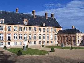 Chateau of Mesnuls | |
Location of Les Mesnuls 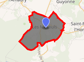
| |
 Les Mesnuls 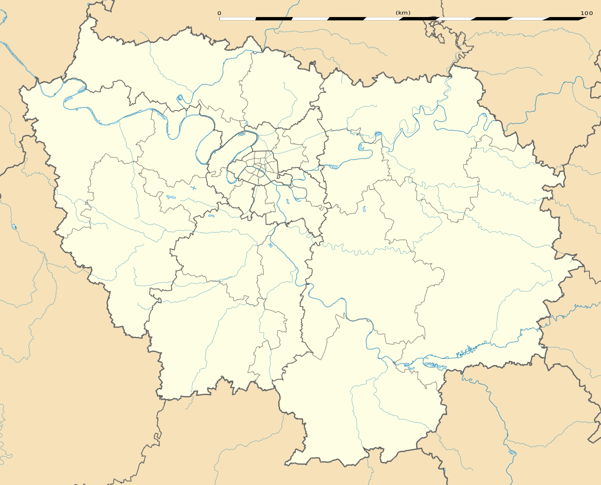 Les Mesnuls | |
| Coordinates: 48°45′25″N 1°50′20″E | |
| Country | France |
| Region | Île-de-France |
| Department | Yvelines |
| Arrondissement | Rambouillet |
| Canton | Aubergenville |
| Government | |
| • Mayor (2001–08) | Marc Lautour |
| Area 1 | 6.49 km2 (2.51 sq mi) |
| Population (2017-01-01)[1] | 857 |
| • Density | 130/km2 (340/sq mi) |
| Time zone | UTC+01:00 (CET) |
| • Summer (DST) | UTC+02:00 (CEST) |
| INSEE/Postal code | 78398 /78490 |
| Elevation | 93–184 m (305–604 ft) (avg. 112 m or 367 ft) |
| 1 French Land Register data, which excludes lakes, ponds, glaciers > 1 km2 (0.386 sq mi or 247 acres) and river estuaries. | |
History
The place was called Ménil until the 13th century, before becoming Les Mesnils, then Les Mesnuls. The name derives from Latin mansionile, meaning a small mansio, or dwelling
Interesting Sights
- Église Saint-Éloi, 15th century.
- The Château des Mesnuls : the first elements (entrance gate, moat) were built during the 16th century, and the main body dates from 1731. Protected since 1945, it is classified as monument historique since 1975.
- Chapelle Notre-Dame du Chêne on the road to Montfort-l'Amaury, built around 1825.
- Communal laundry house in rue du Moulin, 19th century.
See also
References
- "Populations légales 2017". INSEE. Retrieved 6 January 2020.
- Monique Bardy. La grande histoire des Yvelines, éditions Édijac, Pontoise 1989, ISBN 2-904625-25-6
| Wikimedia Commons has media related to Les Mesnuls. |
| Authority control |
|
|---|
This article is issued from Wikipedia. The text is licensed under Creative Commons - Attribution - Sharealike. Additional terms may apply for the media files.