Coignières
Coignières is a commune in the Yvelines department in the Île-de-France region in north-central France.
Coignières | |
|---|---|
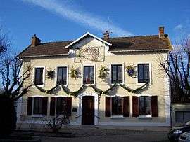 Town hall | |
.svg.png) Coat of arms | |
Location of Coignières 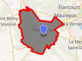
| |
 Coignières 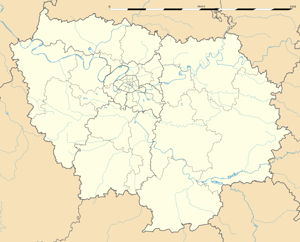 Coignières | |
| Coordinates: 48°44′53″N 1°55′16″E | |
| Country | France |
| Region | Île-de-France |
| Department | Yvelines |
| Arrondissement | Rambouillet |
| Canton | Maurepas |
| Intercommunality | Saint-Quentin-en-Yvelines |
| Government | |
| • Mayor (2008–2014) | Henri Pailleux |
| Area 1 | 8.27 km2 (3.19 sq mi) |
| Population (2017-01-01)[1] | 4,394 |
| • Density | 530/km2 (1,400/sq mi) |
| Time zone | UTC+01:00 (CET) |
| • Summer (DST) | UTC+02:00 (CEST) |
| INSEE/Postal code | 78168 /78310 |
| Elevation | 99–178 m (325–584 ft) (avg. 169 m or 554 ft) |
| 1 French Land Register data, which excludes lakes, ponds, glaciers > 1 km2 (0.386 sq mi or 247 acres) and river estuaries. | |
Geography
Coignières is situated 18 km (11 mi) southwest of Versailles. Its neighbours include Maurepas to the north, Mesnil-Saint-Denis and Lévis-Saint-Nom to the east, Essarts-le-Roi to the south and Saint-Rémy-l'Honoré to the west.
The village is roughly 170 m above sea level, fairly flat except to the west where there is a valley with the Mauldre river which runs from the area called la Maison Blanche to the north.
Coignières is connected by route nationale 10 (RN10), which traverses the commune from the northeast to the southwest, and given the amount of traffic it effectively divides the commune in two. Coignières train station is located on the Paris–Chartres train line and runs parallel to the RN10.
The commune is quite well developed with new housing and commercial zones near Maurepas and beyond the Saint-Quentin-en-Yvelines region. There is also a large industrial zone (le Marais) between the RN10 and the railway line.
Part of the commune to the west is still a partly wooded rural area (Bois des Hautes Bruyères).
Finally, the GR 11 footpath also cuts across the commune from east to west.
Education
There are two preschools and elementary schools, École Gabriel Bouvet and École Marcel Pagnol, as well as one junior high school, Collège d'Enseignement Secondaire « La Mare aux Saules ».[2]
See also
References
- "Populations légales 2017". INSEE. Retrieved 6 January 2020.
- "Établissements scolaires." Coignières. Retrieved on September 3, 2016.
External links
| Wikimedia Commons has media related to Coignières. |
- Home page (in French)
| Authority control |
|
|---|