Ladd Reef
Ladd Reef (Vietnamese: Đá Lát; Chinese: 日积礁; pinyin: Rìjī jiāo) is a Vietnam-controlled reef in the Spratly group of islands, South China Sea. China and Taiwan are also claimants of the reef. Like Spratly Island, Ladd Reef lies to the west of the Philippines-defined "Kalayaan Islands" claim area.[1]
| Disputed island | |
|---|---|
| Geography | |
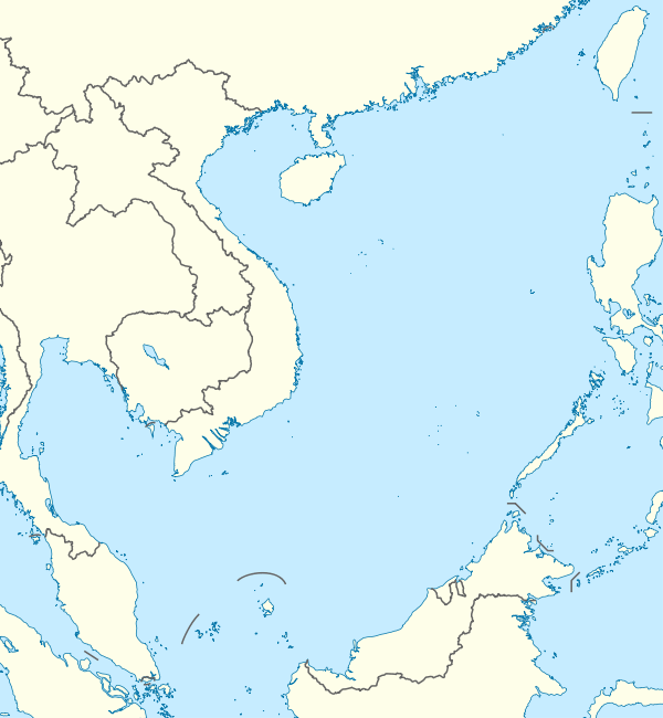 | |
| Location | South China Sea |
| Coordinates | 8°39′57″N 111°40′36″E |
| Archipelago | Spratly Islands |
| Administered by | |
| Vietnam | |
| Claimed by | |
| China | |
| Taiwan | |
| Vietnam | |
Names
The English name Ladd Reef was coined by Richard Spratly in late March 1843, after Captain Ladd of the ship Austen, who seemed to be the first to have seen the reef.[2] The Chinese name Rìjī Jiāo was coined in 1947 to replace the 1935 name Lādé Jiāo (拉德礁),[3] which was transliterated from the English name Ladd.
Geography
Ladd Reef lies west of Dangerous Ground in the western half of the Spratly Islands, to the south of Coronation Bank, southwest of West London Reef (West Reef) and 15 nautical miles (28 km; 17 mi) west of Spratly Island.[4]
This coral reef lies on a northeast-southwest axis, 3 nautical miles (5.6 km; 3.5 mi) in length, 1 nautical mile (1.9 km; 1.2 mi) in width, and spans over an area of 9.9 square kilometres (990 ha; 2,400 acres; 3.8 sq mi). It is entirely submerged during high tide, but there are some stones jutting out of the sea during low tide.
Structures
The reef is uninhabited but contains a Vietnamese lighthouse (built in 1994)[6] with the inscription Hải đăng đá Lát[7] (literally "Ladd Reef Lighthouse"). The lower portion of the lighthouse consists of quarters for a handful of Vietnamese soldiers and the lighthouse keeper.
Other information
In 1945, towards the end of the Second World War, a Dutch submarine (HNLMS O-19) ran aground on Ladd Reef.[8]
References
- "Presidential Decree No. 1596 (Philippines)". The Official Gazette of the Republic of the Philippines. 1978. Retrieved 2014-07-15.
- Hancox, David; Prescott, Victor (1995). A Geographical Description of the Spratly Islands and an Account of Hydrographic Surveys amongst Those Islands. Maritime Briefings. 1. University of Durham, International Boundaries Research Unit. p. 15. ISBN 978-1897643181.
- "Archived copy" 南海诸岛中外地名对照表 (in Chinese). 海南史志网. 2009-06-15. Archived from the original on 2016-02-11. Retrieved 2014-07-15.CS1 maint: archived copy as title (link) (Contains a list of maritime features in the South China Sea, with their English names, and their Chinese names in 1935, 1947 and 1983.)
- Sta Ana, D.J. (25 May 2011). "Vietnam also has garrisons in PH zone of Spratlys". Interaksyon. Retrieved 6 June 2014.
- Russ Rowlett (15 November 2013). "Lighthouses of the Spratly Islands". University of North Carolina at Chapel Hill. Retrieved 6 June 2014.
- "Photo of Lighthouse on Ladd reef". timawa.net/. Timawa - Forum. Retrieved 6 June 2014.
- Spruijt, Siem. "The Ladd reef Incident". dutchsubmarines.com. Dutch Submarines. Archived from the original on 12 August 2015. Retrieved 6 June 2014.
| Related articles | |||||||||||
|---|---|---|---|---|---|---|---|---|---|---|---|
| Confrontations |
| ||||||||||
| Regions | |||||||||||
| Occupied features | |||||||||||
| Unoccupied features | |||||||||||