La Breille-les-Pins
La Breille-les-Pins is a commune in the Maine-et-Loire department in western France.
La Breille-les-Pins | |
|---|---|
.svg.png) Coat of arms | |
Location of La Breille-les-Pins 
| |
 La Breille-les-Pins 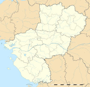 La Breille-les-Pins | |
| Coordinates: 47°20′29″N 0°04′43″E | |
| Country | France |
| Region | Pays de la Loire |
| Department | Maine-et-Loire |
| Arrondissement | Saumur |
| Canton | Longué-Jumelles |
| Intercommunality | CA Saumur Val de Loire |
| Government | |
| • Mayor (2008–2014) | Florian Stephan |
| Area 1 | 27.57 km2 (10.64 sq mi) |
| Population (2017-01-01)[1] | 602 |
| • Density | 22/km2 (57/sq mi) |
| Time zone | UTC+01:00 (CET) |
| • Summer (DST) | UTC+02:00 (CEST) |
| INSEE/Postal code | 49045 /49390 |
| Elevation | 55–118 m (180–387 ft) (avg. 105 m or 344 ft) |
| 1 French Land Register data, which excludes lakes, ponds, glaciers > 1 km2 (0.386 sq mi or 247 acres) and river estuaries. | |
Population
| Historical population | ||
|---|---|---|
| Year | Pop. | ±% |
| 1793 | 505 | — |
| 1800 | 462 | −8.5% |
| 1806 | 550 | +19.0% |
| 1821 | 569 | +3.5% |
| 1831 | 520 | −8.6% |
| 1836 | 600 | +15.4% |
| 1841 | 543 | −9.5% |
| 1846 | 522 | −3.9% |
| 1851 | 547 | +4.8% |
| 1856 | 518 | −5.3% |
| 1861 | 514 | −0.8% |
| 1866 | 488 | −5.1% |
| 1872 | 470 | −3.7% |
| 1876 | 515 | +9.6% |
| 1881 | 530 | +2.9% |
| 1886 | 546 | +3.0% |
| 1891 | 538 | −1.5% |
| 1896 | 517 | −3.9% |
| 1901 | 492 | −4.8% |
| 1906 | 476 | −3.3% |
| 1911 | 439 | −7.8% |
| 1921 | 394 | −10.3% |
| 1926 | 384 | −2.5% |
| 1931 | 318 | −17.2% |
| 1936 | 304 | −4.4% |
| 1946 | 307 | +1.0% |
| 1954 | 310 | +1.0% |
| 1962 | 332 | +7.1% |
| 1968 | 334 | +0.6% |
| 1975 | 281 | −15.9% |
| 1982 | 270 | −3.9% |
| 1990 | 345 | +27.8% |
| 1999 | 445 | +29.0% |
| 2006 | 537 | +20.7% |
| 2009 | 607 | +13.0% |
External links
| Wikimedia Commons has media related to La Breille-les-Pins. |
| Authority control |
|
|---|
This article is issued from Wikipedia. The text is licensed under Creative Commons - Attribution - Sharealike. Additional terms may apply for the media files.