Khariar Road
Khariar Road is a town and a Notified Area Council in Nuapada district in the Indian state of Odisha. Khariar Road is connected to Mahasamund - Raipur through National Highway 353 as well as the Indian Railway East Coast Railway
Khariar Road | |
|---|---|
Town | |
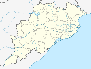 Khariar Road Location in Odisha, India  Khariar Road Khariar Road (India) | |
| Coordinates: 20.899°N 82.509°E | |
| Country | |
| State | Odisha |
| District | Nuapada |
| Population (2011) | |
| • Total | 16,629 |
| Languages | |
| • Official | Odia |
| Time zone | UTC+5:30 (IST) |
| PIN | 766104 |
| Telephone code | 06678 |
| Vehicle registration | OD |
| Website | odisha |
Demographics
According to the 2011 Census of India[1] Khariar Road had a population of 16,629. Males constituted 51% of the population and females 49%. Khariar Road had an average literacy rate of 61%, higher than the national average of 59.5%; male literacy was 70% and female literacy 51%. In Khariar Road, 14% of the population was under 6 years of age.
Schools
- Delhi Public School Khariar Road
- Navjyoti vidlaya
- Gopobandhu high school
- Saraswati vidyamandir
- Gurukul aashram
- Gurunanak public school
- Gyanjyoti kr vidlaya
- kg sharff Public school
- daddtarya high school
This article is issued from Wikipedia. The text is licensed under Creative Commons - Attribution - Sharealike. Additional terms may apply for the media files.