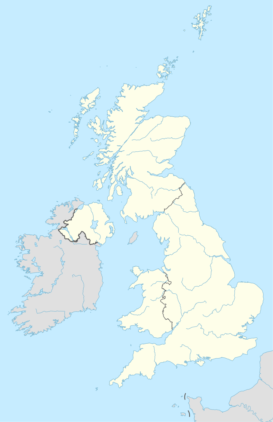
HG postcode area

The HG postcode area, also known as the Harrogate postcode area,[2] is a group of five postcode districts in England, which are subdivisions of three post towns. These postcode districts cover Harrogate, Ripon and Knaresborough in North Yorkshire.

KML is from Wikidata
Harrogate postcode area
HG
Postcode areaHG
Postcode area nameHarrogate
Post towns3
Postcode districts5
Postcode sectors25
Postcodes (live)4,446
Postcodes (total)6,056
Statistics as at February 2012[1]

HG1 and HG2 cover most of Harrogate; HG1 covering areas north of The Stray while HG2 covers areas to the south. HG3 spans across some of the western suburbs as well as a large rural area north and west of the town. HG4 covers Ripon and some surrounding settlements and rural areas. HG5 covers Knaresborough and some rural areas to the north and east.

When ranked by number of postcode districts, it is the second smallest postcode area in the United Kingdom, behind only the ZE postcode area which has three districts.

Coverage

The approximate coverage of the postcode districts:

Postcode district Post town Coverage Local authority area
HG1 HARROGATE Central, Bilton, High Harrogate, Jennyfields, Duchy, New Park Harrogate
HG2 HARROGATE Oatlands, Woodlands, Hookstone, Rossett, Pannal Ash, Harlow Hill, Low Harrogate, Hornbeam Park Harrogate
HG3 HARROGATE Jennyfields, Pannal, Burn Bridge, Kirkby Overblow, Killinghall, Greenhow, Fewston, Beckwithshaw, Spofforth, Bishop Monkton, Bishop Thornton, Glasshouses, Follifoot, Pateley Bridge, Summerbridge, Ripley, Brearton, Burton Leonard, Netherby, Hampsthwaite, Nidd, South Stainley, Wormald Green, Markington, Burnt Yates, Bedlam, Shaw Mills, Birstwith, Warsill, Darley, Dacre, Wath-in-Nidderdale, Middlesmoor, Lofthouse, Ramsgill, Stean, Bewerley, Thornthwaite Harrogate, Craven
HG4 RIPON Ripon, North Stainley, High Grantley, Masham, West Tanfield, Thornton Watlass, Thornton Steward, Sawley, Eavestone, Littlethorpe, Skelton-on-Ure, Marton-le-Moor, North Stainley, Wath, Nunwick, Melmerby, Middleton Quernhow, Bridge Hewick, Sharow, Copt Hewick, Hutton Conyers, Aldfield,Kirkby Malzeard, Leighton, Colsterdale, Gollinglith Foot, Azerley, Galphay, Winksley, Sutton Grange, Grewelthorpe, Rookwith, Low Ellington, Thirn Harrogate, Hambleton, Richmondshire
HG5 KNARESBOROUGH Knaresborough, Scotton, Goldsborough, Arkendale, Allerton Mauleverer, Hopperton, Flaxby, Coneythorpe, Staveley, Ferrensby, Farnham, Calcutt, Plompton Harrogate

Map

KML is from Wikidata
BD postcode areaDL postcode areaLS postcode areaYO postcode areaYO postcode area
HG postcode area map, showing postcode districts in red and post towns in grey text, with links to nearby BD, DL, LS and YO postcode areas.

See also

References

  1. "ONS Postcode Directory Version Notes" (ZIP). National Statistics Postcode Products. Office for National Statistics. February 2012. Table 2. Retrieved 21 April 2012. Coordinates from mean of unit postcode points, "Code-Point Open". OS OpenData. Ordnance Survey. February 2012. Retrieved 21 April 2012.
  2. Royal Mail, Address Management Guide, (2004)
This article is issued from Wikipedia. The text is licensed under Creative Commons - Attribution - Sharealike. Additional terms may apply for the media files.