45th parallel south
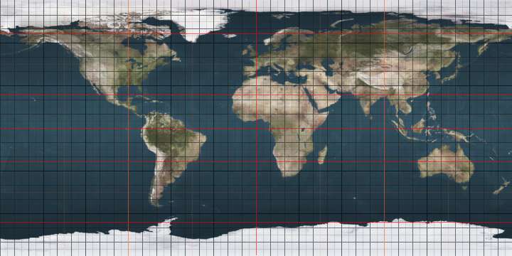
The 45th parallel south is a circle of latitude that is 45° south of the Earth's equator.
.svg.png)
It is the line that marks the theoretical halfway point between the equator and the South Pole. The true halfway point is 16.2 km (10.1 mi) south of this parallel because Earth is not a perfect sphere, but bulges at the equator and is flattened at the poles.[1]
Unlike its northern counterpart, almost all (97%) of it passes through open ocean. It crosses the South Atlantic Ocean, the Indian Ocean, Australasia (New Zealand and just south of Tasmania), the Southern Ocean, and Patagonia.
At this latitude, daytime lasts for 15 hours, 37 minutes during the December solstice and 8 hours, 46 minutes during the June solstice.
Around the world
Starting at the Prime Meridian and heading eastwards, the parallel 45° south passes through:
Co-ordinates Country, territory or ocean Notes 45°0′S 0°0′E Atlantic Ocean 45°0′S 20°0′E Indian Ocean 45°0′S 147°0′E Pacific Ocean Tasman Sea 45°0′S 167°8′E 
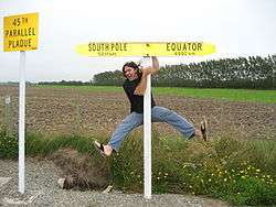
South Island, passing just north of the towns of Oamaru, Naseby, Cromwell and Queenstown, and through the small settlement of Becks 45°0′S 171°6′E Pacific Ocean Passing just south of Guamblin Island, 
45°0′S 74°23′W Islands in the Chonos Archipelago including James Island and Melchor Island, and the mainland intersecting Route 7 at Campo Grande roughly 100 km (60 miles) north of Coyhaique, Aysén Region 45°0′S 71°33′W 
Chubut Province 45°0′S 65°35′W Atlantic Ocean
See also
 |