20th parallel north

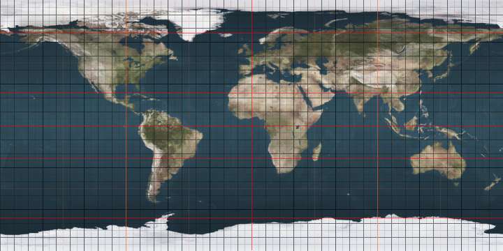
The 20th parallel north is a circle of latitude that is 20 degrees north of the Earth's equatorial plane. It crosses Africa, Asia, the Indian Ocean, the Pacific Ocean, North America, the Caribbean and the Atlantic Ocean.

20°
20th parallel north
In Africa, the parallel defines part of the border between Libya and Sudan.

The parallel defines part of the border between Libya and Sudan.[1] Within Sudan it defines the border between the Northern and North Darfur states.

At this latitude the sun is visible for 13 hours, 21 minutes during the summer solstice and 10 hours, 55 minutes during the winter solstice.[2]

On 21 June, the maximum altitude of the sun is 93.44 degrees and 46.56 degrees on 21 December.

Around the world

Starting at the Prime Meridian and heading eastwards, the parallel 20° north passes through:

Co-ordinates Country, territory or sea Notes
20°0′N 0°0′E  Mali
20°0′N 2°43′E  Algeria
20°0′N 6°27′E  Niger
20°0′N 15°47′E  Chad
20°0′N 23°3′E  Libya
20°0′N 24°0′E  Libya /  Sudan border
20°0′N 25°0′E  Sudan The parallel defines the border between the Northern and North Darfur states
20°0′N 37°11′E Indian Ocean Red Sea
20°0′N 40°28′E  Saudi Arabia
20°0′N 55°0′E  Oman
20°0′N 57°48′E Indian Ocean Arabian Sea - Passing just south of Masirah Island,  Oman
20°0′N 72°43′E  India Maharashtra
Chhattisgarh
Odisha
Chhattisgarh
Odisha
20°0′N 86°23′E Indian Ocean Bay of Bengal
20°0′N 92°57′E  Myanmar (Burma)
20°0′N 99°3′E  Thailand
20°0′N 100°32′E  Laos
20°0′N 104°58′E  Vietnam
20°0′N 106°11′E Pacific Ocean Gulf of Tonkin, South China Sea
20°0′N 110°8′E  People's Republic of China Island of Hainan — passing just south of Haikou
20°0′N 110°56′E Pacific Ocean South China Sea
20°0′N 122°0′E Pacific Ocean Philippine Sea
- Passing between the Batanes and Babuyan islands,  Philippines
- Passing just south of the Maug Islands,  Northern Mariana Islands
into an unnamed part of the Ocean
20°0′N 155°50′W  United States Big Island, Hawaii
20°0′N 155°15′W Pacific Ocean
20°0′N 105°31′W  Mexico Jalisco
Michoacan
Guanajuato
Querétaro
Mexico State
Hidalgo
Puebla
Veracruz
20°0′N 96°33′W Gulf of Mexico Bay of Campeche
20°0′N 90°28′W  Mexico Campeche
Yucatán
Quintana Roo
20°0′N 87°28′W Caribbean Sea
20°0′N 77°38′W  Cuba
20°0′N 74°52′W Caribbean Sea Windward Passage
20°0′N 72°43′W  Haiti Island of Tortuga
20°0′N 74°52′W Atlantic Ocean Passing just north of the island of Hispaniola,  Dominican Republic
20°0′N 16°14′W  Mauritania
20°0′N 5°59′W  Mali

See also

References

  1. Brownlie, Ian (1979). African Boundaries: A Legal and Diplomatic Encyclopedia. Institute for International Affairs, Hurst and Co. pp. 133–40.
  2. http://aa.usno.navy.mil/data/docs/Dur_OneYear.php
This article is issued from Wikipedia. The text is licensed under Creative Commons - Attribution - Sharealike. Additional terms may apply for the media files.