29th meridian east

The meridian 29° east of Greenwich is a line of longitude that extends from the North Pole across the Arctic Ocean, Europe, Africa, the Indian Ocean, the Southern Ocean, and Antarctica to the South Pole.

29°
29th meridian east

The 29th meridian east forms a great circle with the 151st meridian west.

The meridian defines the eastern border of the Abyei area,[1] which is disputed between Sudan and South Sudan.
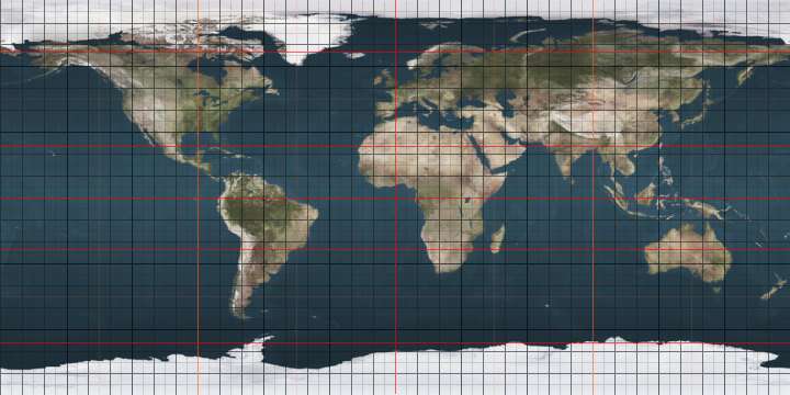
From Pole to Pole

Starting at the North Pole and heading south to the South Pole, the 29th meridian east passes through:

Co-ordinates Country, territory or sea Notes
90°0′N 29°0′E Arctic Ocean
78°56′N 29°0′E  Norway Island of Kongsøya, Svalbard
78°53′N 29°0′E Barents Sea
70°52′N 29°0′E  Norway
69°43′N 29°0′E  Finland
69°18′N 29°0′E  Norway
69°2′N 29°0′E  Russia
68°8′N 29°0′E  Finland
61°11′N 29°0′E  Russia
60°12′N 29°0′E Baltic Sea Gulf of Finland
59°49′N 29°0′E  Russia
56°2′N 29°0′E  Belarus
51°34′N 29°0′E  Ukraine
47°58′N 29°0′E  Moldova Passing through the de facto independent, but unrecognised state of  Transnistria
46°29′N 29°0′E  Ukraine
46°14′N 29°0′E  Moldova For about 11 km
46°9′N 29°0′E  Ukraine For about 7 km
46°4′N 29°0′E  Moldova For about 4 km
46°2′N 29°0′E  Ukraine
45°21′N 29°0′E  Romania
44°40′N 29°0′E Black Sea
41°15′N 29°0′E  Turkey 25 km. Thrace, Passing through Istanbul and neighbouring areas
41°2′N 29°0′E Sea of Marmara
40°39′N 29°0′E  Turkey 19 km. Anatolia (Armutlu Peninsula)
40°28′N 29°0′E Sea of Marmara Gemlik Bay
40°22′N 29°0′E  Turkey 430 km. Anatolia
36°43′N 29°0′E Mediterranean Sea
30°50′N 29°0′E  Egypt
22°0′N 29°0′E  Sudan
10°10′N 29°0′E Border of Abyei and  Sudan proper Abyei is controlled by  Sudan, and claimed by  South Sudan
9°40′N 29°0′E  South Sudan
4°29′N 29°0′E  Democratic Republic of the Congo
2°18′S 29°0′E  Rwanda
2°42′S 29°0′E  Democratic Republic of the Congo For about 8 km
2°47′S 29°0′E  Burundi For about 4 km
2°49′S 29°0′E  Democratic Republic of the Congo
8°27′S 29°0′E  Zambia Passing through Lake Mweru
12°17′S 29°0′E  Democratic Republic of the Congo
13°25′S 29°0′E  Zambia
15°56′S 29°0′E  Zimbabwe Passing through Lake Kariba
21°46′S 29°0′E  Botswana
22°16′S 29°0′E  South Africa Limpopo
Mpumalanga
Gauteng - for about 14 km
Mpumalanga
Free State
KwaZulu-Natal
28°55′S 29°0′E  Lesotho
30°1′S 29°0′E  South Africa Eastern Cape
32°9′S 29°0′E Indian Ocean
60°0′S 29°0′E Southern Ocean
69°45′S 29°0′E Antarctica Queen Maud Land, claimed by  Norway

References

  1. "Abyei Arbitration: Final Award Map" (PDF). Permanent Court of Arbitration. Archived from the original (PDF) on 2013-05-25. Retrieved 16 July 2011.

See also

This article is issued from Wikipedia. The text is licensed under Creative Commons - Attribution - Sharealike. Additional terms may apply for the media files.