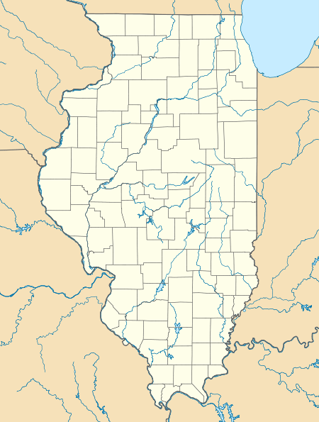
Zenobia, Illinois
| Zenobia, Illinois | |
|---|---|
| Unincorporated community | |
 Zenobia, Illinois  Zenobia, Illinois | |
| Coordinates: 39°31′43″N 89°32′1″W / 39.52861°N 89.53361°WCoordinates: 39°31′43″N 89°32′1″W / 39.52861°N 89.53361°W | |
| Country | United States |
| State | Illinois |
| County | Christian, Montgomery, Sangamon |
| Elevation | 614 ft (187 m) |
| Time zone | UTC-6 (Central (CST)) |
| • Summer (DST) | UTC-5 (CDT) |
| Area code(s) | 217 |
| GNIS feature ID | 423347[1] |
Zenobia is an unincorporated community in Christian, Montgomery, and Sangamon counties in the U.S. state of Illinois.[1] It lies at 39°31′43″N 89°32′1″W / 39.52861°N 89.53361°W.[2][3]
References
- 1 2 "Zenobia". Geographic Names Information System. United States Geological Survey.
- ↑ http://www.genealogytrails.com/ill/christian/index.html
- ↑ Illinois Atlas & Gazetteer; Third Edition, Second Printing; Copyright 2000 DeLorme; ISBN 0-89933-321-4; pp 61
This article is issued from
Wikipedia.
The text is licensed under Creative Commons - Attribution - Sharealike.
Additional terms may apply for the media files.