Zambezi Airport
| Zambezi Airport | |||||||||||
|---|---|---|---|---|---|---|---|---|---|---|---|
| Summary | |||||||||||
| Airport type | Public | ||||||||||
| Serves | Zambezi, Zambia | ||||||||||
| Elevation AMSL | 3,538 ft / 1,078 m | ||||||||||
| Coordinates | 13°32′10″S 23°06′20″E / 13.53611°S 23.10556°ECoordinates: 13°32′10″S 23°06′20″E / 13.53611°S 23.10556°E | ||||||||||
| Map | |||||||||||
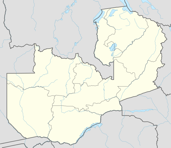 BBZ Location of the airport in Zambia | |||||||||||
| Runways | |||||||||||
| |||||||||||
Zambezi Airport (IATA: BBZ, ICAO: FLZB) is an airport serving the town of Zambezi in the Northwestern Province of Zambia. The airport is within the town, and just east of the Zambezi River.
The Zambezi non-directional beacon (Ident: ZB) is located on the field.[3]
See also


- Transport in Zambia
- List of airports in Zambia
References
- ↑ Google Maps - Zambezi
- ↑ Airport information for Zambezi Airport at Great Circle Mapper.
- ↑ "Zambezi NDB (ZB) @ OurAirports". ourairports.com. Retrieved 2018-08-30.
External links
- FallingRain - Zambezi Airport
- OpenStreetMap - Zambezi
- Accident history for Zambezi Airport at Aviation Safety Network
- OurAirports - Zambezi Airport
This article is issued from
Wikipedia.
The text is licensed under Creative Commons - Attribution - Sharealike.
Additional terms may apply for the media files.