Mongu Airport
| Mongu Airport | |||||||||||
|---|---|---|---|---|---|---|---|---|---|---|---|
| Summary | |||||||||||
| Airport type | Public | ||||||||||
| Serves | Mongu, Zambia | ||||||||||
| Elevation AMSL | 3,488 ft / 1,063 m | ||||||||||
| Coordinates | 15°15′18″S 23°09′45″E / 15.25500°S 23.16250°ECoordinates: 15°15′18″S 23°09′45″E / 15.25500°S 23.16250°E | ||||||||||
| Map | |||||||||||
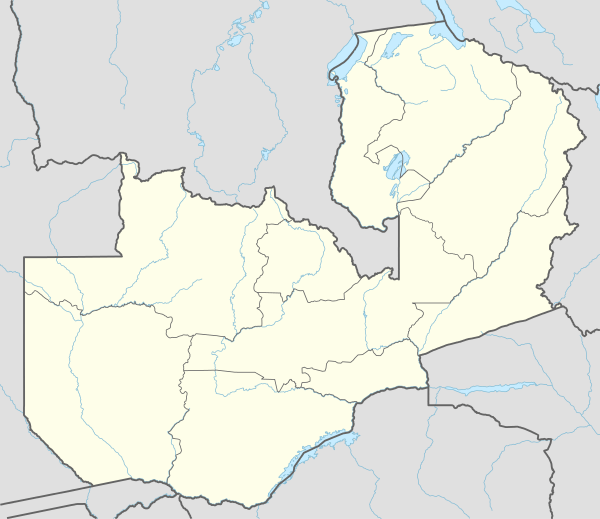 MNR Location of airport in Zambia | |||||||||||
| Runways | |||||||||||
| |||||||||||
Mongu Airport (IATA: MNR, ICAO: FLMG) is an airport serving Mongu, the capital city of Western Province, Zambia. The airport is 2 kilometres (1.2 mi) northeast of the city.
Facilities
The airport resides at an elevation of 3,488 feet (1,063 m) above mean sea level. It has one runway designated 09/27 with a brick surface measuring 1,520 by 21 metres (4,987 ft × 69 ft).
The Mongu non-directional beacon (Ident: MG) is located 2.3 nautical miles (4.3 km) north of the airport. The Mongu VOR-DME (Ident: VMG) is located 1.2 nautical miles (2.2 km) east of the Runway 27 approach threshold.[4][5]
See also

- Transport in Zambia
- List of airports in Zambia
References
- ↑ Airport information for FLMG
- ↑ Airport information for Mongu Airport at Great Circle Mapper.
- ↑ "Mongu Airport". Google Maps. Google. Retrieved 1 July 2018.
- ↑ "Mongu NDB (MG) @ OurAirports". ourairports.com. Retrieved 2018-08-30.
- ↑ "Mongu VOR". SkyVector Aeronautical Charts. SkyVector. Retrieved 1 July 2018.
External links
- OpenStreetMap - Mongu
- SkyVector - Mongu Airport
- Accident history for Mongu Airport at Aviation Safety Network
This article is issued from
Wikipedia.
The text is licensed under Creative Commons - Attribution - Sharealike.
Additional terms may apply for the media files.