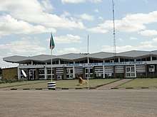
Mfuwe Airport
| Mfuwe Airport | |||||||||||
|---|---|---|---|---|---|---|---|---|---|---|---|
 Mfuwe International Airport | |||||||||||
| Summary | |||||||||||
| Airport type | Public / Military | ||||||||||
| Serves | Mfuwe, Zambia | ||||||||||
| Elevation AMSL | 1,853 ft / 565 m | ||||||||||
| Coordinates | 13°15′32″S 31°56′10″E / 13.25889°S 31.93611°ECoordinates: 13°15′32″S 31°56′10″E / 13.25889°S 31.93611°E | ||||||||||
| Map | |||||||||||
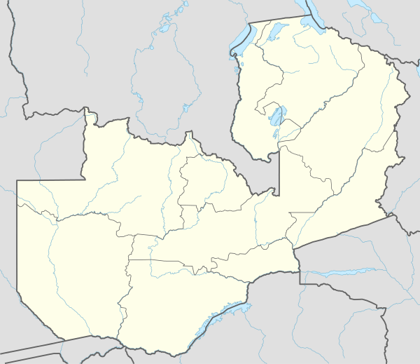 MFU Location of airport in Zambia | |||||||||||
| Runways | |||||||||||
| |||||||||||
Mfuwe Airport (IATA: MFU, ICAO: FLMF) is an airport serving Mfuwe, a diffuse settlement in the Eastern Province in Zambia.
It serves the tourism industry based on the nearby South Luangwa National Park and other wildlife areas in the Luangwa Valley. It takes international flights in the tourist season (making it one of four international airports in Zambia).
Facilities
The airport resides at an elevation of 1,853 feet (565 m) above mean sea level. It has one runway designated 09/27 with an asphalt surface measuring 2,200 by 30 metres (7,218 ft × 98 ft).
Navigation and approach are facilitated by a VOR-DME and a non-directional beacon.[4][5]
Airlines and destinations
| Airlines | Destinations |
|---|---|
| Ulendo Airlink | Likoma, Lilongwe, Southern Lakeshore, Liwonde, Majete[6] |
| Proflight Zambia | Lusaka |
See also
References
- ↑ Airport information for FLMF
- ↑ Airport information for Mfuwe Airport at Great Circle Mapper.
- ↑ "Mfuwe Airport". Google Maps. Google. Retrieved 30 June 2018.
- ↑ "Mfuwe NDB (MF) @ OurAirports". ourairports.com. Retrieved 2018-08-30.
- ↑ "Mfuwe VOR-DME (VMF) @ OurAirports". ourairports.com. Retrieved 2018-08-30.
- ↑ 2015/2016 timetable, "Archived copy" (PDF). Archived from the original (PDF) on 10 March 2016. Retrieved 22 June 2016.
External links
- OpenStreetMap - Mfuwe Airport
- SkyVector - Mfuwe Airport
- Current weather for FLMF at NOAA/NWS
- Accident history for Mfuwe Airport at Aviation Safety Network
- Travelling via Mfuwe to South Luangwa
This article is issued from
Wikipedia.
The text is licensed under Creative Commons - Attribution - Sharealike.
Additional terms may apply for the media files.