Chipata Airport
| Chipata Airport | |||||||||||
|---|---|---|---|---|---|---|---|---|---|---|---|
| Summary | |||||||||||
| Airport type | Military/Civilian | ||||||||||
| Serves | Chipata, Zambia | ||||||||||
| Elevation AMSL | 3,359 ft / 1,024 m | ||||||||||
| Coordinates | 13°33′25″S 32°35′13″E / 13.55694°S 32.58694°ECoordinates: 13°33′25″S 32°35′13″E / 13.55694°S 32.58694°E | ||||||||||
| Map | |||||||||||
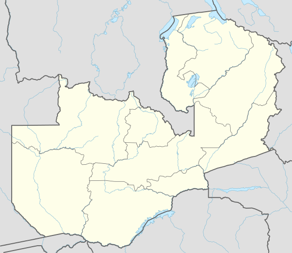 CIP Location of the airport in Zambia | |||||||||||
| Runways | |||||||||||
| |||||||||||
Chipata Airport (IATA: CIP, ICAO: FLCP) is an airport serving Chipata, a city in the Eastern Province of Zambia.
The Chipata non-directional beacon (Ident: CP) is located on the field.[4]
Location
Chipata Airport is in eastern Zambia, near the town of Chipata, approximately 500 kilometres (310 mi), by air, northeast of Lusaka International Airport, the country’s largest civilian and military airport.[5]
This location is approximately 15 kilometres (9.3 mi) by road, northwest of the central business district of the town of Chipata.[6]
Airlines and destinations
| Airlines | Destinations |
|---|---|
| Proflight Zambia | Lusaka |
See also


- Transport in Zambia
- List of airports in Zambia
References
- ↑ Airport information for Chipata Airport at Great Circle Mapper.
- ↑ "Chipata Airport". Google Maps. Google. Retrieved 23 June 2018.
- ↑ "Chipata Airport". SkyVector. Retrieved 23 June 2018.
- ↑ "Chipata NDB". Our Airports. Retrieved 23 June 2018.
- ↑ "Distance between Lusaka (Lusaka) and Chipata () (Airport) (Zambia)". distancecalculator.globefeed.com. Retrieved 2018-08-30.
- ↑ "Distance between Chipata () (Airport) and Chipata (Eastern) (Zambia)". distancecalculator.globefeed.com. Retrieved 2018-08-30.
External links
- Accident history for Chipata Airport at Aviation Safety Network
- OpenStreetMap - Chipata Airport
- Airport information for Chipata Airport at World Aero Data. Data current as of October 2006.
This article is issued from
Wikipedia.
The text is licensed under Creative Commons - Attribution - Sharealike.
Additional terms may apply for the media files.