Xeraco
| Xeraco | ||
|---|---|---|
| Municipality | ||
 | ||
| ||
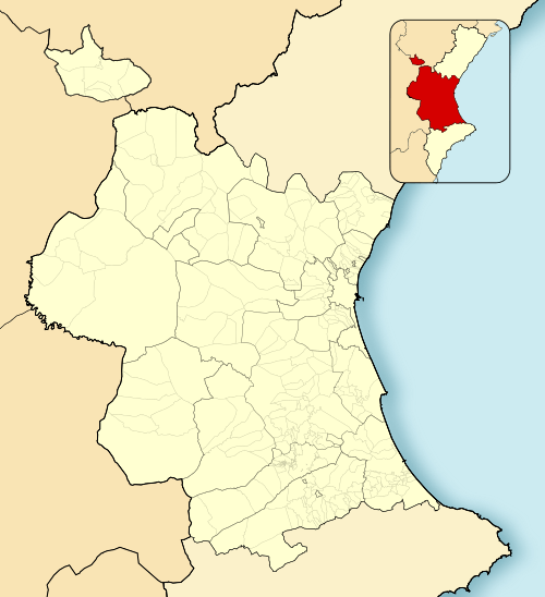 Xeraco Location in Spain 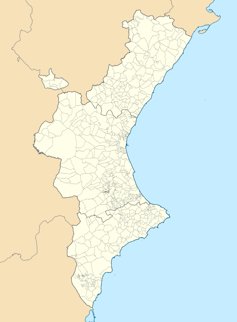 Xeraco Xeraco (Valencian Community)  Xeraco Xeraco (Spain) | ||
| Coordinates: 39°1′55″N 0°12′56″W / 39.03194°N 0.21556°WCoordinates: 39°1′55″N 0°12′56″W / 39.03194°N 0.21556°W | ||
| Country |
| |
| Autonomous community |
| |
| Province | Valencia | |
| Comarca | Safor | |
| Judicial district | Gandia | |
| Government | ||
| • Alcalde | Ferran Bofí Pardo (2007) (PSPV-PSOE) | |
| Area | ||
| • Total | 20.2 km2 (7.8 sq mi) | |
| Elevation | 3 m (10 ft) | |
| Population (2009) | ||
| • Total | 6,186 | |
| • Density | 310/km2 (790/sq mi) | |
| Demonym(s) | Xeraquer, xeraquera | |
| Time zone | UTC+1 (CET) | |
| • Summer (DST) | UTC+2 (CEST) | |
| Postal code | 46770 | |
| Official language(s) | Valencian | |
| Website | Official website | |

Xeraco (Valencian pronunciation: [ʃeˈɾako]; Spanish: Jaraco [xaˈɾako]) is a municipality in the comarca of Safor in Valencia, Spain.[1] Like many coastal towns it is divided into the original village of Xeraco and the new beach resort, Xeraco Platja. Xeraco is separated from the neighbouring beach resorts of Gandia and Tavernes by the Ríu Vaca and swamp land containing native population of birds.
Geography
Xeraco is 57 km to the south from Valencia city (39° 01' 55" N 0° 12' 56" W). There is about 3 km between the village and the beach known as Xeraco Platja
Road: N-332.
Highway: AP-7 exit, shared with Xeresa
Railway station: C-1 Line, from Valencia (RENFE).
Demographics
| 2000 | 2002 | 2004 | 2006 | 2008 | 2010 |
|---|---|---|---|---|---|
| 4.982 | 5.145 | 5.443 | 5.671 | 6.259 | 6.129 |
References
- ↑ "Ficha municipal Xeraco" [Municipal sketch Xeraco] (PDF) (in Spanish). Institut valencià d'estadística. 2011. p. 1. Retrieved 2012-05-13.
- ↑ "Ficha municipal Xeraco" [Municipal sketch Xeraco] (PDF) (in Spanish). Institut valencià d'estadística. 2011. p. 1. Retrieved 2012-05-13.
This article is issued from
Wikipedia.
The text is licensed under Creative Commons - Attribution - Sharealike.
Additional terms may apply for the media files.