Wooburn Green
| Wooburn Green | |
|---|---|
 Wooburn Green | |
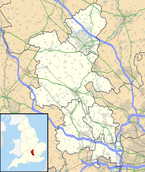 Wooburn Green Wooburn Green shown within Buckinghamshire | |
| Population | 3,820 |
| OS grid reference | SU913885 |
| Civil parish | |
| District | |
| Shire county | |
| Region | |
| Country | England |
| Sovereign state | United Kingdom |
| Post town | HIGH WYCOMBE |
| Postcode district | HP10 |
| Dialling code | 01628 |
| Police | Thames Valley |
| Fire | Buckinghamshire |
| Ambulance | South Central |
| EU Parliament | South East England |
| UK Parliament | |
Wooburn Green is a village in the civil parish of Wooburn, Buckinghamshire, England.[1][2]
Location
Wooburn Green is a village situated four miles south east of the town of High Wycombe. It neighbours Beaconsfield, Loudwater, Flackwell Heath, and Bourne End. It is close to the M40 motorway, meaning London and Birmingham are easily accessible by road.
The village was once served by the High Wycombe to Bourne End railway line, however the line and station closed in 1970.
The Green
The large village green (a conservation area) is fringed with trees and is surrounded by older cottages, small Victorian and Edwardian houses, modern shops and local businesses. A Village Fête and funfairs are held there regularly throughout the year.
1st Wooburn Scout Group meets at their headquarters in Watery Lane, Wooburn Green. You can see the old site of the railway[3]
References
- ↑ Ordnance Survey: Landranger map sheet 175 Reading & Windsor (Henley-on-Thames & Bracknell) (Map). Ordnance Survey. 2012. ISBN 9780319232149.
- ↑ "Ordnance Survey Election Maps". www.ordnancesurvey.co.uk. Ordnance Survey. Retrieved 18 February 2016.
- ↑ "Wooburn Scouts". Retrieved 24 March 2016.
External links
![]()
| Towns (component areas and hamlets) | 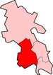 | |
|---|---|---|
| Other civil parishes (component villages and hamlets) |
| |
| Former districts and boroughs | ||
| Former constituencies | ||