Viaduct Quarry
| Site of Special Scientific Interest | |
 | |
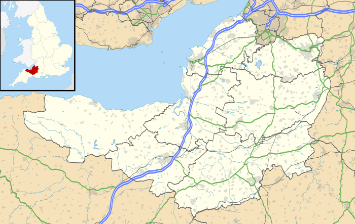 Location within Somerset | |
| Area of Search | Somerset |
|---|---|
| Grid reference | ST621443 |
| Coordinates | 51°11′48″N 2°32′38″W / 51.19665°N 2.54378°WCoordinates: 51°11′48″N 2°32′38″W / 51.19665°N 2.54378°W |
| Interest | Geological |
| Area | 0.3 hectares (0.0030 km2; 0.0012 sq mi) |
| Notification | 1984 |
| Natural England website | |
Viaduct Quarry (grid reference ST621443) is a 0.3 hectare geological Site of Special Scientific Interest near Shepton Mallet on the Mendip Hills in Somerset, notified in 1984.
This disused quarry is a Geological Conservation Review site identified as the best exposed and thickest section in the Downside Stone, a localised limestone development which accumulated adjacent to the Lower Jurassic Mendip Island.
See also
Sources
- English Nature citation sheet for the site (accessed 9 August 2006)
External links
- English Nature website (SSSI information)
This article is issued from
Wikipedia.
The text is licensed under Creative Commons - Attribution - Sharealike.
Additional terms may apply for the media files.