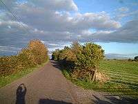
Bleadon Hill
| Site of Special Scientific Interest | |
 | |
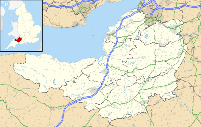 Location within Somerset | |
| Area of Search | Avon |
|---|---|
| Grid reference | ST383588 |
| Coordinates | 51°18′45″N 2°55′54″W / 51.3124°N 2.9318°WCoordinates: 51°18′45″N 2°55′54″W / 51.3124°N 2.9318°W |
| Interest | Geological |
| Area | 33.41 acres (0.1352 km2; 0.05220 sq mi) |
| Notification | 1999 |
| Natural England website | |
Bleadon Hill (grid reference ST351574) is a 13.52 hectare geological Site of Special Scientific Interest just north of the village of Bleadon, North Somerset, notified in 1999.
The site is a Geological Conservation Review site, as it shows a low ridge of calcite-cemented Pleistocene sand and gravel on its southern side. Various marine or glacial origins have been postulated for the sediments and it has even been suggested that this is a Mesozoic beach conglomerate. On the basis of the sedimentology, it is most likely that these sediments accumulated during the Quaternary when an ice sheet rested against Bleadon Hill.[1]
There is evidence or agricultural use of the land in the medieval period and possibly from Roman times.[2]
References
- ↑
- English Nature citation sheet for the site Archived October 13, 2006, at the Wayback Machine. (accessed 9 July 2006)
- ↑ "Mendip Hills An Archaeological Survey of the Area of Outstanding Natural Beauty" (PDF). Somerset County Council Archeological Projects. Retrieved 16 January 2011.
This article is issued from
Wikipedia.
The text is licensed under Creative Commons - Attribution - Sharealike.
Additional terms may apply for the media files.