Greylake
| Site of Special Scientific Interest | |
 | |
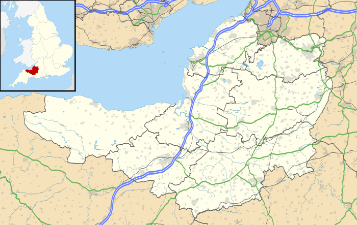 Location within Somerset | |
| Area of Search | Somerset |
|---|---|
| Grid reference | ST384336 |
| Coordinates | 51°05′54″N 2°52′52″W / 51.09838°N 2.88109°WCoordinates: 51°05′54″N 2°52′52″W / 51.09838°N 2.88109°W |
| Interest | Geological |
| Area | 9.3 hectares (0.093 km2; 0.036 sq mi) |
| Notification | 1987 |
| Natural England website | |
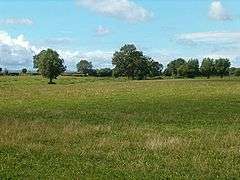
Greylake (grid reference ST384336) is a 9.3 hectare geological Site of Special Scientific Interest near Middlezoy in Somerset, notified in 1987.
This site, on the Somerset Levels, consists of 20 low-lying fields in the north west corner of King's Sedgemoor,[1] and includes the Royal Society for the Protection of Birds Greylake nature reserve which has taken over arable farmland and is now home to lapwings, snipe, curlews, redshanks, yellow wagtails, skylarks and meadow pipits.[2]
This location is the type section for the Pleistocene Burtle Beds, as it is probably the most complete Burtle Beds sequence in Somerset. It demonstrates a sequence of fluvial (or possibly glacial) gravels, marine intertidal silts and marine subtidal. Rich molluscan, ostracod and foraminifera assemblages and a mammalian fauna, including red deer (Cervus elephus), aurochs (Bos primigenius) and fallow deer (Dama dama) have been recorded.[3]
Greylake was flooded during the winter flooding of 2013–14 on the Somerset Levels.
References
- ↑ "RSPB Greylake". Attractions in Somerset.
- ↑ "Greylake". Resereves. RSPB.
- ↑ English Nature citation sheet for the site (accessed 7 August 2006)
External links
- English Nature website (SSSI information)