Ugborough
| Ugborough | |
|---|---|
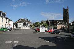 Ugborough square and St Peters Church | |
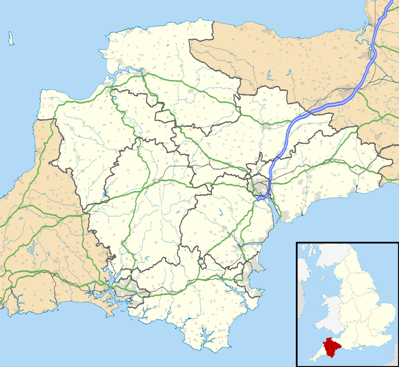 Ugborough Ugborough shown within Devon | |
| Population | 1,736 (Parish) (2001) |
| OS grid reference | SX677557 |
| Civil parish |
|
| District | |
| Shire county | |
| Region | |
| Country | England |
| Sovereign state | United Kingdom |
| Post town | IVYBRIDGE |
| Postcode district | PL21 |
| Dialling code | 01752 |
| Police | Devon and Cornwall |
| Fire | Devon and Somerset |
| Ambulance | South Western |
| EU Parliament | South West England |
| UK Parliament | |
Ugborough is a village and civil parish in South Hams in the English county of Devon. It has a large church with a history going back to 1121. It also contains a small junior school and pre-school, a village hall and a central square. A public bus service runs through Ugborough (on Tuesday, Friday and Saturday), as does a bus to the local secondary school at Ivybridge. It holds a fair every year in July, with traditional games and stalls. More recently a Youth Group has been set up, catering for many of the village's children. Ugborough is 2 miles (3.2 km) from the Devon Expressway the A38. The main bulk of the village is situated encircling a central village square. In the village hall, which doubles as a pre-school, various entertainments are held mainly in the summer months ranging from live music to themed evenings.
The parish, which has a population of 1,736,[1] includes a number of settlements other than the village such as Bittaford, Wrangaton (which once had a railway station), Cheston and Moorhaven Village[2][3] To the southeast of Ugborough, within the parish, is Fowlescombe Manor. Modern day Ugborough is home to the reopened Ivybridge railway station which was reopened in 1994. It was reopened east of Ivybridge so residents of Ugborough and Wrangaton would also easily access the station.[4]
See also
References
- ↑ "Neighbourhood Statistics - Ugborough (CP) Parish". Office for National Statistics. Retrieved 17 April 2008.
- ↑ Ugborough Parish Council
- ↑ Moorhaven Village website
- ↑ https://www.google.co.uk/maps/place/Ivybridge/@50.3965806,-3.8991391,14z/data=!4m5!3m4!1s0x486ce5b10c2cf627:0x715a87c83692e33b!8m2!3d50.3934037!4d-3.904761
External links
| Wikimedia Commons has media related to Ugborough. |