Turtle Mountain Provincial Park
| Turtle Mountain Provincial Park | |
|---|---|
|
IUCN category II (national park) | |
 | |
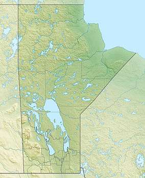
| Location | Manitoba, Canada |
| Nearest town | Boissevain, Manitoba |
| Coordinates | 49°3′0″N 100°15′1″W / 49.05000°N 100.25028°WCoordinates: 49°3′0″N 100°15′1″W / 49.05000°N 100.25028°W[1] |
| Area | 186 km2 (72 sq mi) |
| Established | 1961 |
| Governing body | Government of Manitoba |
Turtle Mountain Provincial Park is a provincial park located in the southwestern portion of the Canadian province of Manitoba. Within it are the Adam Lake and Max Lake campgrounds. The park is known for its bike trails, fishing, back country cabins and canoe routes. The park is very popular with families and outdoor enthusiasts.
The park is named after the numerous painted turtles found in the area. The turtles can be seen throughout the warmer months sun bathing near permanent ponds or lakes in the park. In late spring and early summer the females can be seen laying eggs in sandy soil throughout the park.
Turtle Mountain Provincial Park was designated a provincial park by the Government of Manitoba in 1961.[2] The park is 186 square kilometres (72 sq mi) in size.[2] The park is considered to be a Class II protected area under the IUCN protected area management categories.[3]
It is adjacent to the international border between Canada and the United States. Its southeast corner is adjacent to the International Peace Garden which is located in both Manitoba and the U.S. state of North Dakota. To the east is the William Lake Provincial Park, home to the William Lake Campground, and the Prairie Farm Rehabilitation Administration. To the north is the town of Boissevain, with the city of Brandon farther north. Most of the park is situated in the southwesternmost section of the Municipality of Boissevain – Morton, while the rest of it lies in the southeast corner of the Municipality of Deloraine – Winchester.
The park is nearly coterminous with the slightly larger Turtle Mountain Provincial Forest. The only difference is a small section of the forest lying east of Manitoba Highway 10 at the southeast corner of the forest (near the International Peace Garden), which is outside the park's territory.
Geography
Turtle Mountain Provincial Park is situated on the Turtle Mountain (plateau), one of a number of significant geographic features located along the Manitoba Escarpment, the Canadian portion of the Pembina Escarpment.
| Turtle Mountain Provincial Park, Manitoba | ||||||||||||||||||||||||||||||||||||||||||||||||||||||||||||
|---|---|---|---|---|---|---|---|---|---|---|---|---|---|---|---|---|---|---|---|---|---|---|---|---|---|---|---|---|---|---|---|---|---|---|---|---|---|---|---|---|---|---|---|---|---|---|---|---|---|---|---|---|---|---|---|---|---|---|---|---|
| Climate chart (explanation) | ||||||||||||||||||||||||||||||||||||||||||||||||||||||||||||
| ||||||||||||||||||||||||||||||||||||||||||||||||||||||||||||
| ||||||||||||||||||||||||||||||||||||||||||||||||||||||||||||
See also
References
- ↑ "Turtle Mountain Provincial Park". Natural Resources Canada. Retrieved 3 July 2017.
- 1 2 A System Plan for Manitoba's Provincial Parks (PDF). Government of Manitoba. March 1997. p. 55. Retrieved 3 July 2017.
- ↑ "Turtle Mountain Provincial Park". Protected Planet. United Nations Environment World Conservation Monitoring Centre. Retrieved 3 July 2017.
External links
- Turtle Mountain Provincial Park at the Manitoba Conservation Web site
- Map of Turtle Mountain Provincial Forest / Turtle Mountain Provincial Park
- Turtle Mountain Provincial Park Management Plan, Manitoba Natural Resources - Parks, 1985