Tillabéri Airport
| Tillabery Airport | |||||||||||
|---|---|---|---|---|---|---|---|---|---|---|---|
| Summary | |||||||||||
| Airport type | Public | ||||||||||
| Serves | Tillabery | ||||||||||
| Elevation AMSL | 692 ft / 211 m | ||||||||||
| Coordinates | 14°12′10″N 1°28′25″E / 14.20278°N 1.47361°ECoordinates: 14°12′10″N 1°28′25″E / 14.20278°N 1.47361°E | ||||||||||
| Map | |||||||||||
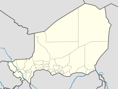 DRRL Location of the airport in Niger | |||||||||||
| Runways | |||||||||||
| |||||||||||
|
Source: Google Maps[1] | |||||||||||
Tillabery Airport (ICAO: DRRL) is an airport serving Tillabery, Niger.
See also

References
External links
This article is issued from
Wikipedia.
The text is licensed under Creative Commons - Attribution - Sharealike.
Additional terms may apply for the media files.