Tahoua Airport
| Tahoua Airport | |||||||||||
|---|---|---|---|---|---|---|---|---|---|---|---|
| Summary | |||||||||||
| Airport type | Public | ||||||||||
| Serves | Tahoua | ||||||||||
| Elevation AMSL | 1,266 ft / 386 m | ||||||||||
| Coordinates | 14°52′30″N 5°15′50″E / 14.87500°N 5.26389°ECoordinates: 14°52′30″N 5°15′50″E / 14.87500°N 5.26389°E | ||||||||||
| Map | |||||||||||
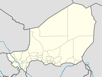 THZ Location of the airport in Niger | |||||||||||
| Runways | |||||||||||
| |||||||||||
|
Source: Google Maps[1] | |||||||||||
Tahoua Airport (IATA: THZ, ICAO: DRRT) is an airport serving Tahoua, Niger.
See also

References
- Great Circle Mapper - Tahoua
- Tahoua Airport
- Google Earth
External links
This article is issued from
Wikipedia.
The text is licensed under Creative Commons - Attribution - Sharealike.
Additional terms may apply for the media files.